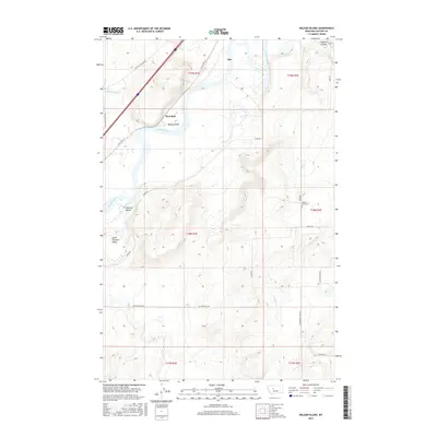
2017 Map of Nelson Island
USGS Topo · Published 2017About this map
The Missouri River creates a prominent bend through this part of Cascade County, shaping the local geography around Nelson Island and the small riverside community of Riverdale. This 2017 survey illustrates a landscape of high coulees and river bottoms, where historical road networks like Old Ulm Cascade Rd and Old US Hwy 91 track the movement of people and commerce between the settlements of Ulm and the valley below.
Find a feature on this map
26 named features on this map. Tap any name to fly to it.
Don’t see what you’re looking for? This feature index may not catch every label — zoom into the map to look around manually.
Map Details
Editions of this 2017 Nelson Island Map
This is the sole edition of this map. No revisions or reprints were ever made.
Other maps of this area

1886 · Great Falls
USGS Topo · 1:250,000

1949 · Cascade
USGS Topo · 1:62,500

1951 · Cascade
USGS Topo · 1:62,500

1954 · Great Falls
USGS Topo · 1:250,000

1955 · Gore Hill
USGS Topo · 1:62,500

1957 · Great Falls
USGS Topo · 1:250,000

1961 · Rocky Reef
USGS Topo · 1:24,000

1961 · Schrammeck Lake
USGS Topo · 1:24,000
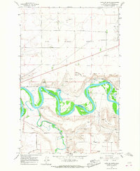
1965 · Antelope Butte
USGS Topo · 1:24,000
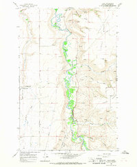
1965 · Truly
USGS Topo · 1:24,000