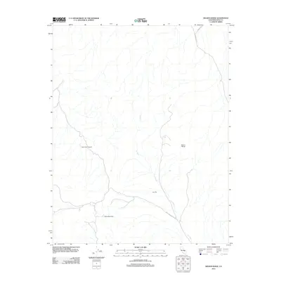
2012 Map of Nelson Range
USGS Topo · Published 2012About this map
Nelson Range dominates the eastern landscape of this Inyo County region, where the high desert terrain transitions into the expansive Lee Flat. This 2012 survey by the U.S. Geological Survey details the network of ephemeral drainage and dry washes that define the area, most notably Lee Wash, which snakes southward through the valley floor. The map highlights the intersection of sparse but vital desert access routes, including Saline Valley Rd and the White Mountain Talc Rd, reflecting the region's history of mineral exploration and backcountry travel. To the west, the topographic relief is defined by the steep descents of San Lucas Canyon and the northern reaches of the Santa Rosa Hills. This document provides a high-resolution view of the landforms and corridors used by geologists and desert travelers in the early 21st century.
Find a feature on this map
8 named features on this map. Tap any name to fly to it.
Don’t see what you’re looking for? This feature index may not catch every label — zoom into the map to look around manually.
Map Details
Editions of this 2012 Nelson Range Map
This is the sole edition of this map. No revisions or reprints were ever made.
Other maps of this area

1908 · Ballarat
USGS Topo · 1:250,000

1913 · Ballarat
USGS Topo · 1:250,000

1948 · Death Valley
USGS Topo · 1:250,000

1950 · Darwin
USGS Topo · 1:62,500

1950 · New York Butte
USGS Topo · 1:62,500

1950 · Ubehebe Peak
USGS Topo · 1:62,500

1951 · New York Butte
USGS Topo · 1:62,500

1951 · Darwin
USGS Topo · 1:62,500

1951 · Ubehebe Peak
USGS Topo · 1:62,500

1951 · Keeler
USGS Topo · 1:62,500