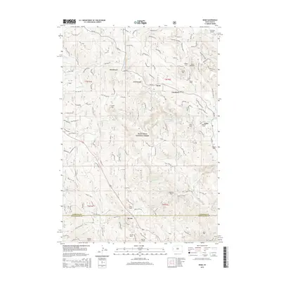
2015 Map of Nemo
USGS Topo · Published 2015About this map
Nemo sits at the intersection of several significant drainages and forest roads within the Black Hills National Forest, serving as a central hub for this portion of the Lawrence County landscape. The settlement pattern follows the winding course of Boxelder Cr and Nemo Rd, connecting smaller outposts like Novak and Tomahawk. To the west, Benchmark and Greenwood occupy the high ground between Hay Cr and the Boxelder valley, reflecting the area's history of isolated forest settlements and mountain camps.
Find a feature on this map
52 named features on this map. Tap any name to fly to it.
Don’t see what you’re looking for? This feature index may not catch every label — zoom into the map to look around manually.
Map Details
Editions of this 2015 Nemo Map
This is the sole edition of this map. No revisions or reprints were ever made.
Other maps of this area

1893 · Rapid
USGS Topo · 1:125,000

1894 · Deadwood
USGS Topo · 1:125,000

1898 · Rapid
USGS Topo · 1:125,000

1899 · Sturgis
USGS Topo · 1:62,500

1901 · Deadwood
USGS Topo · 1:125,000

1903 · Rapid
USGS Topo · 1:125,000

1915 · Sturgis
USGS Topo · 1:62,500

1916 · Deadwood
USGS Topo · 1:125,000

1953 · Piedmont
USGS Topo · 1:24,000

1953 · Nemo
USGS Topo · 1:24,000