
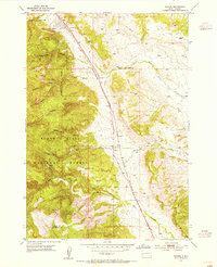
1953 Map of Nemo
USGS Topo · Published 1955About this map
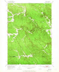
Black Hills National Forest land dominates this mid-century topographical study, revealing the complex drainage networks and scattered outposts of western South Dakota. The map captures the rugged interior of the Black Hills as it appeared in the early 1950s, highlighting the importance of isolated rural institutions such as the Hillside Sch and the community center at Nemo. The landscape is a network of draws and creeks, where Boxelder Creek and its many forks carve through the timbered terrain. Notable for local historians, the presence of the Lucky Strike Mine near Hay Creek points to the area's legacy of resource extraction. The southern boundary marks the transition between Lawrence Co and Pennington County, where the settlement of Merritt and the lookout at Pilot Knob stand as prominent landmarks in the deep gulches and high peaks of the Black Hills region.
Find a feature on this map
37 named features on this map. Tap any name to fly to it.
Don’t see what you’re looking for? This feature index may not catch every label — zoom into the map to look around manually.
Map Details
Editions of this 1953 Nemo Map
5 editions found
Other maps of this area

1893 · Rapid
USGS Topo · 1:125,000

1894 · Deadwood
USGS Topo · 1:125,000

1898 · Rapid
USGS Topo · 1:125,000

1899 · Sturgis
USGS Topo · 1:62,500

1901 · Deadwood
USGS Topo · 1:125,000

1903 · Rapid
USGS Topo · 1:125,000

1915 · Sturgis
USGS Topo · 1:62,500

1916 · Deadwood
USGS Topo · 1:125,000

1953 · Piedmont
USGS Topo · 1:24,000
1953 · Tilford
USGS Topo · 1:24,000