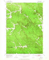
1953 Map of Nemo
USGS Topo · Published 1965About this map
Black Hills National Forest land dominates this early 1950s survey of the Lawrence and Pennington County border. The settlement of Nemo anchors the eastern edge of the map, while small outposts like Merritt, Greenwood, and Benchmark dot the interior terrain. The mapping reveals a landscape shaped by both extraction and early local infrastructure, featuring the Lucky Strike Mine and the Hillside Sch situated near the headwaters of the West Fork Estes Creek.
Find a feature on this map
36 named features on this map. Tap any name to fly to it.
Don’t see what you’re looking for? This feature index may not catch every label — zoom into the map to look around manually.
Map Details
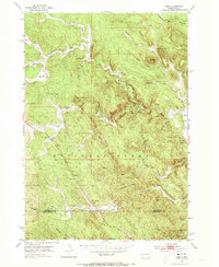
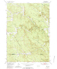
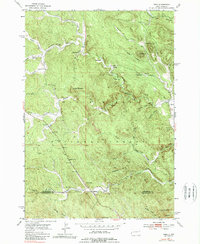
Editions of this 1953 Nemo Map
5 editions found
Other maps of this area

1893 · Rapid
USGS Topo · 1:125,000

1894 · Deadwood
USGS Topo · 1:125,000

1898 · Rapid
USGS Topo · 1:125,000

1899 · Sturgis
USGS Topo · 1:62,500

1901 · Deadwood
USGS Topo · 1:125,000

1903 · Rapid
USGS Topo · 1:125,000

1915 · Sturgis
USGS Topo · 1:62,500

1916 · Deadwood
USGS Topo · 1:125,000

1953 · Piedmont
USGS Topo · 1:24,000

1953 · Nemo
USGS Topo · 1:24,000