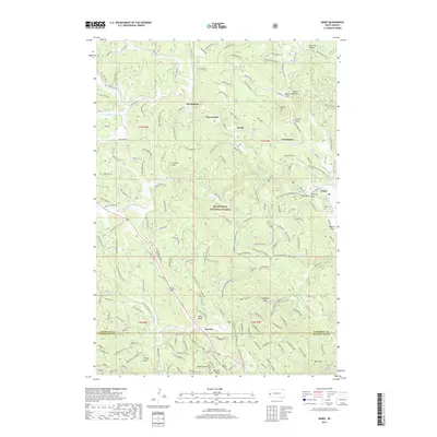
2017 Map of Nemo
USGS Topo · Published 2017About this map
Black Hills National Forest land dominates this 2017 survey, where high ridges and deep draws dictate the local movement and settlement patterns of Lawrence and Pennington counties. The landscape is defined by the complex drainage of Boxelder Creek and Estes Creek, which carve through the terrain between notable peaks like Crystal Mtn and Pilot Knob. Small communities and named locales such as Nemo, Benchmark, and Merritt are connected by a network of forest roads and historic routes, including Rochford Road and Lucky Strike Road.
Find a feature on this map
49 named features on this map. Tap any name to fly to it.
Don’t see what you’re looking for? This feature index may not catch every label — zoom into the map to look around manually.
Map Details
Editions of this 2017 Nemo Map
This is the sole edition of this map. No revisions or reprints were ever made.
Other maps of this area
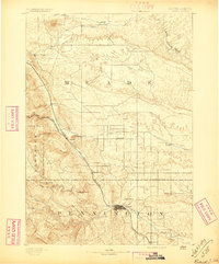
1893 · Rapid
USGS Topo · 1:125,000
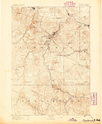
1894 · Deadwood
USGS Topo · 1:125,000
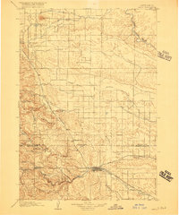
1898 · Rapid
USGS Topo · 1:125,000
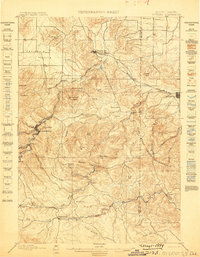
1899 · Sturgis
USGS Topo · 1:62,500
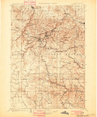
1901 · Deadwood
USGS Topo · 1:125,000
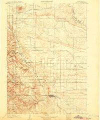
1903 · Rapid
USGS Topo · 1:125,000
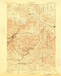
1915 · Sturgis
USGS Topo · 1:62,500
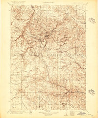
1916 · Deadwood
USGS Topo · 1:125,000
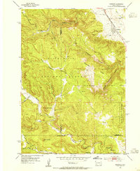
1953 · Piedmont
USGS Topo · 1:24,000
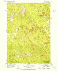
1953 · Nemo
USGS Topo · 1:24,000