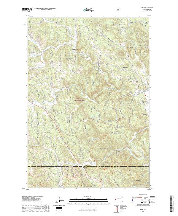
2021 Map of Nemo
USGS Topo · Published 2021About this map
Black Hills National Forest land dominates this high-elevation landscape in South Dakota, characterized by a complex network of forest roads and historical small settlements. The community of Nemo sits near the eastern edge, accompanied by the Nemo Cem, while other small locales such as Merritt, Benchmark, and Greenwood are distributed along the drainages. The terrain is defined by prominent high points including Pilot Knob and Crystal Mtn, alongside named draws like Wilson Draw and Gingrass Draw. The hydrology is primarily shaped by the branches of Boxelder Cr and Estes Cr. Evidence of land management and habitation is visible through named landmarks like the White Mansion and numerous numbered forest service trails such as the Benchmark 8575 Trl, reflecting the region's long-standing connection to both recreation and the timber industry.
Find a feature on this map
166 named features on this map. Tap any name to fly to it.
Don’t see what you’re looking for? This feature index may not catch every label — zoom into the map to look around manually.
Map Details
Editions of this 2021 Nemo Map
This is the sole edition of this map. No revisions or reprints were ever made.
Other maps of this area

1893 · Rapid
USGS Topo · 1:125,000

1894 · Deadwood
USGS Topo · 1:125,000

1898 · Rapid
USGS Topo · 1:125,000

1899 · Sturgis
USGS Topo · 1:62,500

1901 · Deadwood
USGS Topo · 1:125,000

1903 · Rapid
USGS Topo · 1:125,000

1915 · Sturgis
USGS Topo · 1:62,500

1916 · Deadwood
USGS Topo · 1:125,000

1953 · Piedmont
USGS Topo · 1:24,000

1953 · Nemo
USGS Topo · 1:24,000