2023 Map of Nemo
USGS Topo · Published 2023About this map
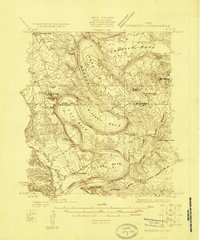
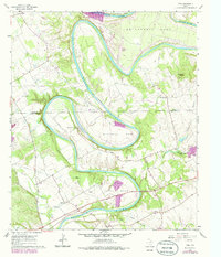
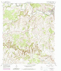
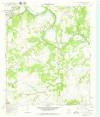
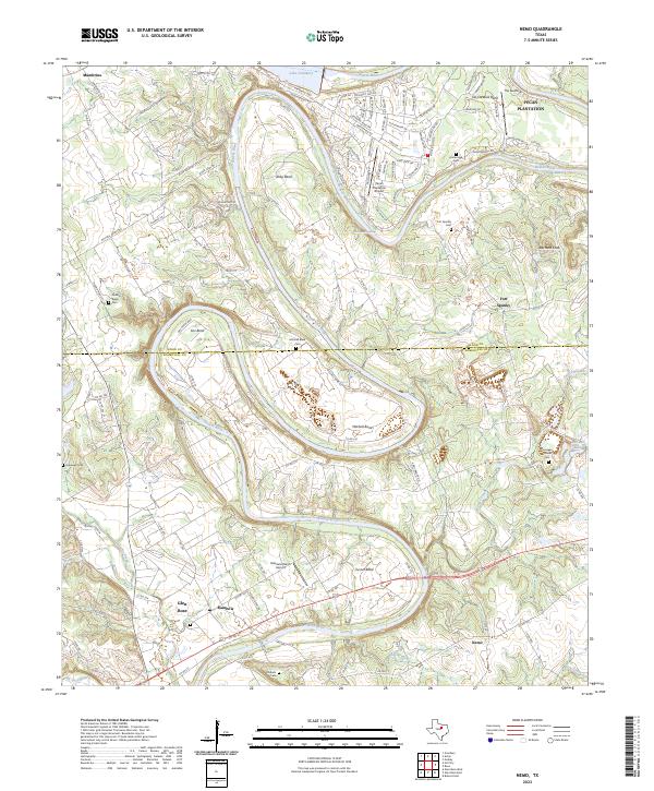
The Brazos River carves a winding path through the borderlands of Hood and Somervell Counties, creating deep geographic oxbows such as Abby Bend, Cox Bend, and Mitchell Bend. This landscape reflects a transition from traditional rural homesteads to modern residential development, most notably at Pecan Plantation and The Landings in the northeast. Despite the growth near Lake Granbury, much of the area retains its local-history markers, with numerous family and community burial grounds like Kristenstad Cem and Nubbin Ridge Cem scattered across the uplands.
Find a feature on this map
114 named features on this map. Tap any name to fly to it.
Don’t see what you’re looking for? This feature index may not catch every label — zoom into the map to look around manually.
Map Details
Editions of this 2023 Nemo Map
This is the sole edition of this map. No revisions or reprints were ever made.
Historical Maps of Nemo Through Time
7 maps found