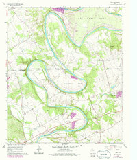
1961 Map of Nemo
USGS Topo · Published 1986About this map
The Brazos River creates a dramatic series of winding oxbows across the Somervell and Hood County line, including Abby Bend, Cox Bend, and Mitchell Bend. This landscape is defined by its deep river meanders and the rugged limestone topography characteristic of the Glen Rose area. Small rural communities like Nemo, Rainbow, and Georges Creek serve as local anchors, while the presence of Cedar Grove Ch and multiple family burial sites like Fort Spunky Cem and Squaw Creek Cem provide significant touchpoints for genealogical research. The map also documents mid-century land use, from the Pecan Plantation Airport and Camp Arrowhead to the industrial presence of a Gravel Pit and several pipelines crossing the river valley near Squaw Creek.
Find a feature on this map
35 named features on this map. Tap any name to fly to it.
Don’t see what you’re looking for? This feature index may not catch every label — zoom into the map to look around manually.
Map Details
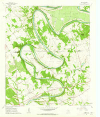
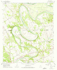
Editions of this 1961 Nemo Map
3 editions found
Other maps of this area

1889 · Granbury
USGS Topo · 1:125,000

1923 · Granbury 2-a
USGS Topo · 1:48,000

1923 · Granbury 1-b
USGS Topo · 1:48,000

1924 · Granbury 1-c
USGS Topo · 1:48,000

1924 · Granbury 4-a
USGS Topo · 1:48,000

1928 · Godley
USGS Topo · 1:62,500

1931 · Morgan
USGS Topo · 1:62,500

1931 · Tolar
USGS Topo · 1:62,500

1954 · Dallas
USGS Topo · 1:250,000

1958 · Dallas
USGS Topo · 1:250,000