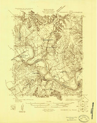
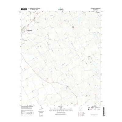
1924 Map of Granbury 4-a
USGS Topo · Published 1924About this map
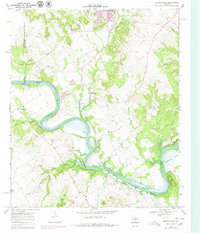
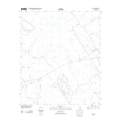
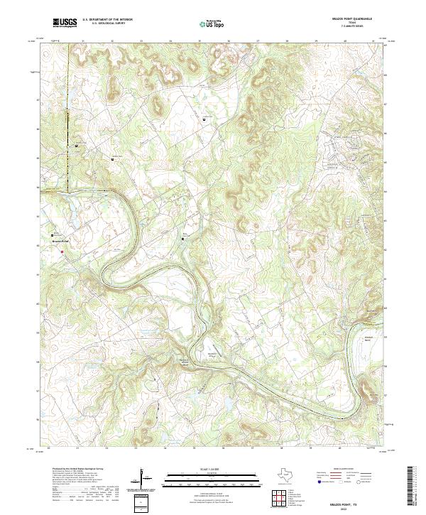
The Brazos River carves a dramatic, winding path through this central Texas landscape, creating distinct geographic features like Goat Neck and Kimball Bend. In 1924, when this survey was conducted by A. J. Ogle and his team, the region was defined by its scattered rural institutions. A high concentration of educational sites, including Dry Branch School, Highland School, and the uniquely named Frog Hollow School, suggests a well-distributed agrarian population.
Find a feature on this map
20 named features on this map. Tap any name to fly to it.
Don’t see what you’re looking for? This feature index may not catch every label — zoom into the map to look around manually.
Map Details
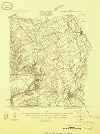
Editions of this 1924 Granbury 4-a Map
This is the sole edition of this map. No revisions or reprints were ever made.
Historical Maps of Brazos Point Through Time
26 maps found
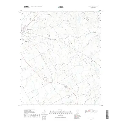
1924 Cleburne 3-B
Johnson County, TX
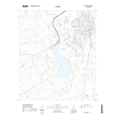
1924 Granbury 4-a
Johnson County, TX
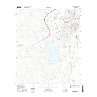
1960 Cleburne East
Johnson County, TX
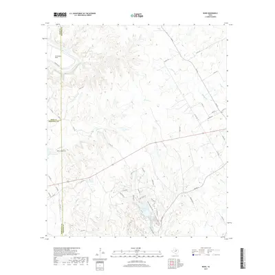
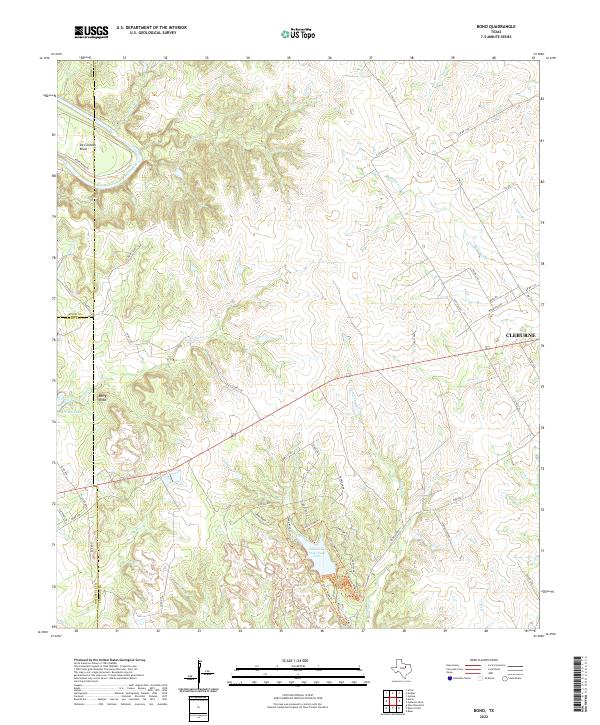
1961 Bono
Johnson County, TX
1961 Cleburne West
Johnson County, TX
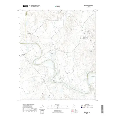
1968 Brazos Point
Johnson County, TX
2010 Bono
Johnson County, TX
2010 Brazos Point
Johnson County, TX
2010 Cleburne East
Johnson County, TX
2010 Cleburne West
Johnson County, TX
2012 Cleburne East
Johnson County, TX
2012 Cleburne West
Johnson County, TX
2013 Bono
Johnson County, TX
2013 Brazos Point
Johnson County, TX
2016 Bono
Johnson County, TX
2016 Brazos Point
Johnson County, TX
2016 Cleburne East
Johnson County, TX
2016 Cleburne West
Johnson County, TX
2019 Bono
Johnson County, TX
2019 Brazos Point
Johnson County, TX
2019 Cleburne East
Johnson County, TX
2019 Cleburne West
Johnson County, TX
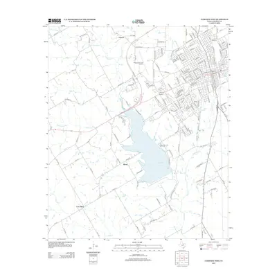
2022 Bono
Johnson County, TX
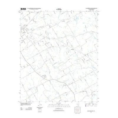
2022 Brazos Point
Johnson County, TX
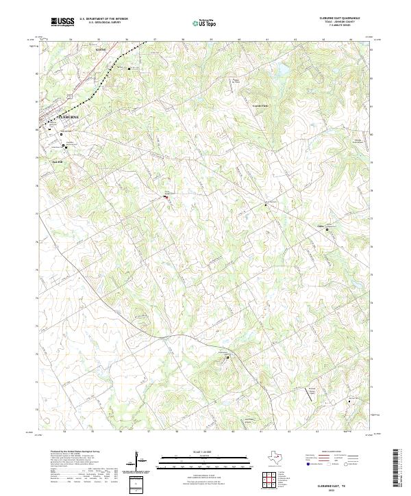
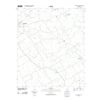
2022 Cleburne East
Johnson County, TX
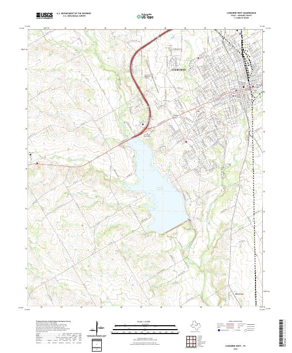
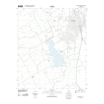
2022 Cleburne West
Johnson County, TX