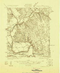
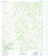
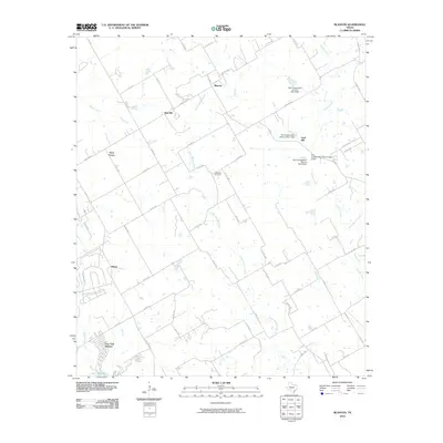
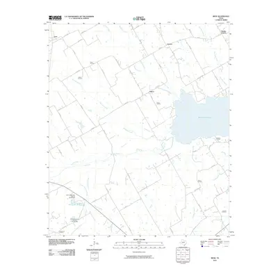
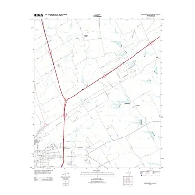
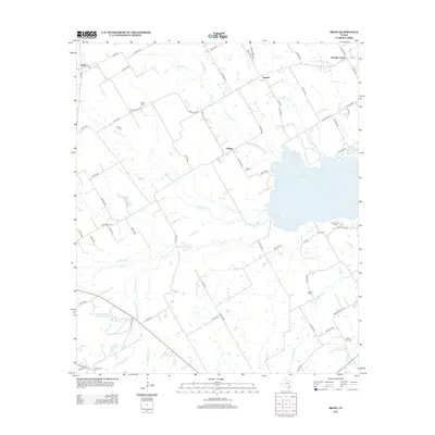
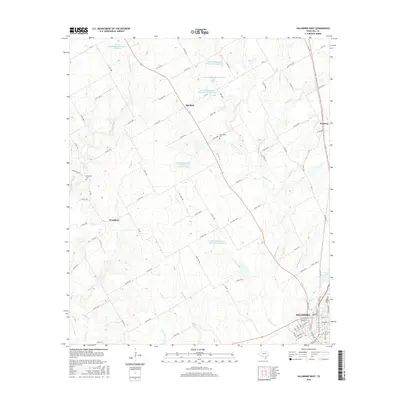
1924 Map of Cleburne 3-C
USGS Topo · Published 1924About this map
The Brazos River meanders through the heart of the central Texas landscape, creating a natural border between Bosque and Hill Counties. Surveyed in the early 1920s, this area is characterized by numerous river fords such as Phelps Crossing, Logwood Crossing, and Palimyer Crossing, which served as vital connections for rural residents before modern bridging. The community of Fort Graham sits near the riverbanks, reflecting the region's early defensive and settlement history.
Find a feature on this map
33 named features on this map. Tap any name to fly to it.
Don’t see what you’re looking for? This feature index may not catch every label — zoom into the map to look around manually.
Map Details
Editions of this 1924 Cleburne 3-C Map
This is the sole edition of this map. No revisions or reprints were ever made.
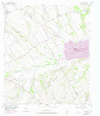
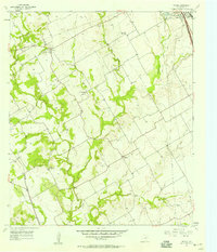
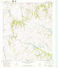
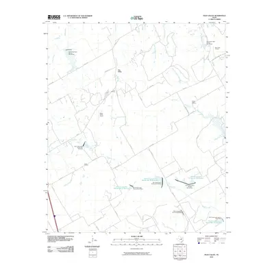
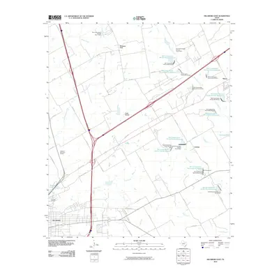
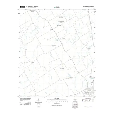
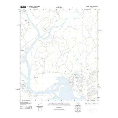
Historical Maps of Lakeside Village Through Time
43 maps found
1924 Cleburne 3-C
Hill County, TX
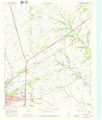
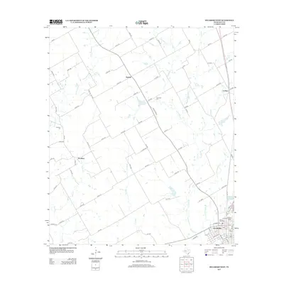
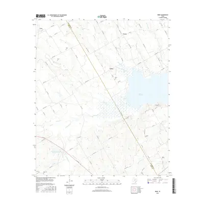
1957 Irene
Hill County, TX
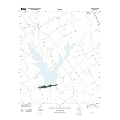
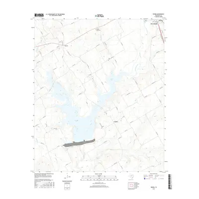
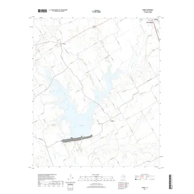
1957 Peoria
Hill County, TX
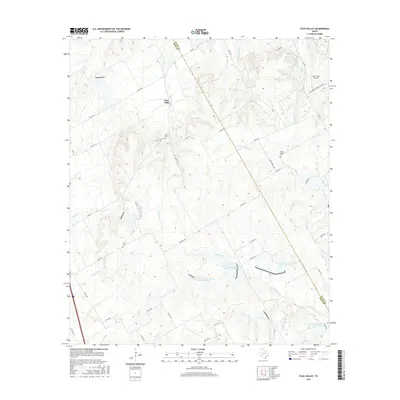
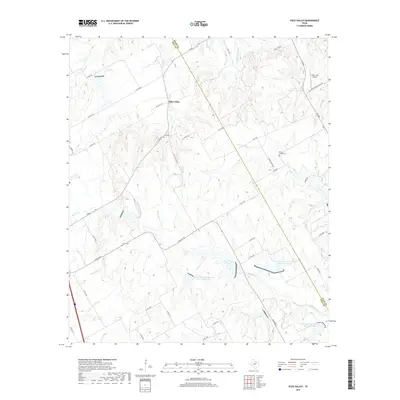
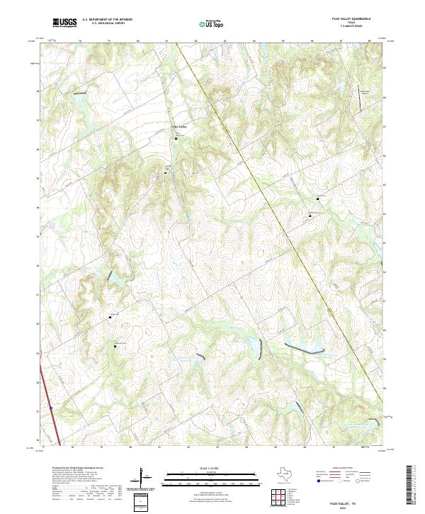
1965 Files Valley
Hill County, TX
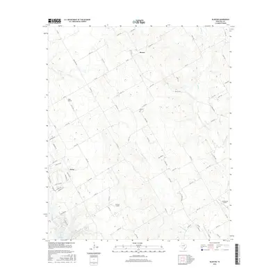
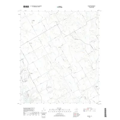
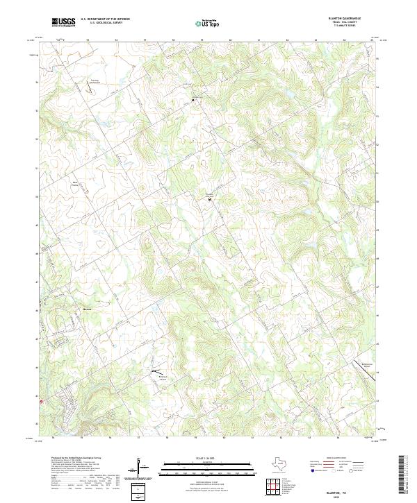
1966 Blanton
Hill County, TX
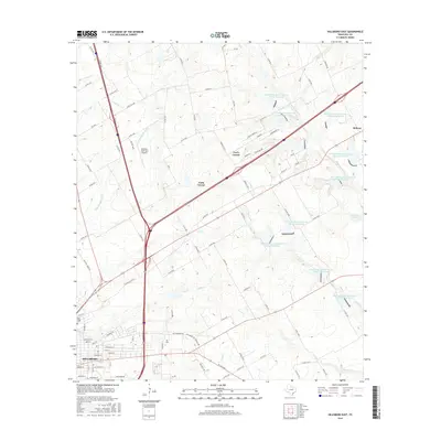
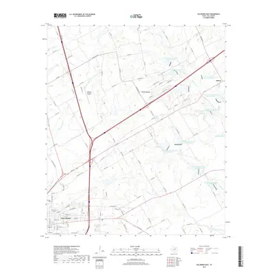
1966 Hillsboro East
Hill County, TX
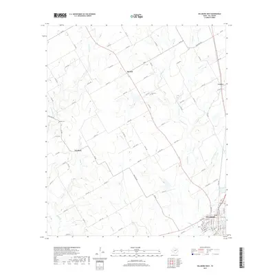
1966 Hillsboro West
Hill County, TX
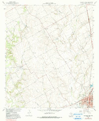
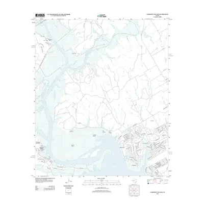
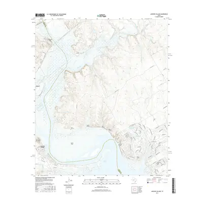
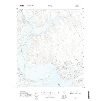
1968 Lakeside Village
Hill County, TX
2010 Blanton
Hill County, TX
2010 Files Valley
Hill County, TX
2010 Hillsboro East
Hill County, TX
2010 Hillsboro West
Hill County, TX
2010 Irene
Hill County, TX
2010 Lakeside Village
Hill County, TX

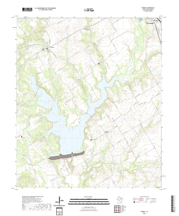
2010 Peoria
Hill County, TX
2012 Blanton
Hill County, TX
2012 Files Valley
Hill County, TX
2012 Hillsboro East
Hill County, TX
2012 Hillsboro West
Hill County, TX
2012 Lakeside Village
Hill County, TX
2012 Peoria
Hill County, TX
2013 Irene
Hill County, TX
2016 Blanton
Hill County, TX
2016 Files Valley
Hill County, TX
2016 Hillsboro East
Hill County, TX
2016 Hillsboro West
Hill County, TX
2016 Irene
Hill County, TX
2016 Lakeside Village
Hill County, TX
2016 Peoria
Hill County, TX
2019 Blanton
Hill County, TX
2019 Files Valley
Hill County, TX
2019 Hillsboro East
Hill County, TX
2019 Hillsboro West
Hill County, TX

2019 Irene
Hill County, TX
2019 Lakeside Village
Hill County, TX
2019 Peoria
Hill County, TX
2022 Blanton
Hill County, TX
2022 Files Valley
Hill County, TX
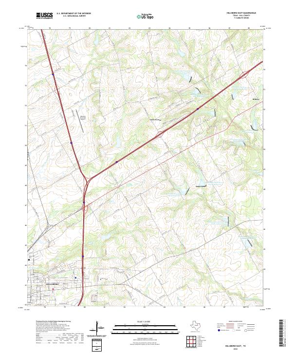
2022 Hillsboro East
Hill County, TX
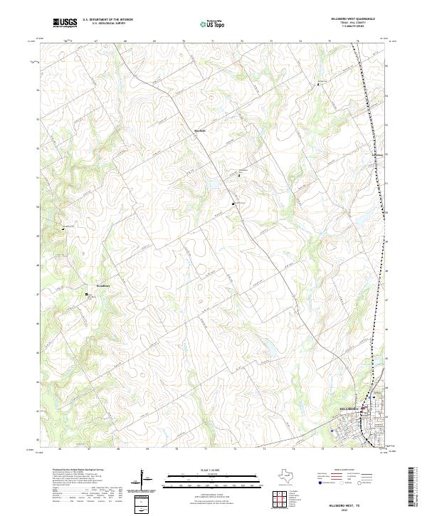
2022 Hillsboro West
Hill County, TX
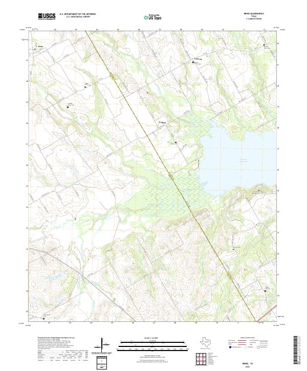
2022 Irene
Hill County, TX
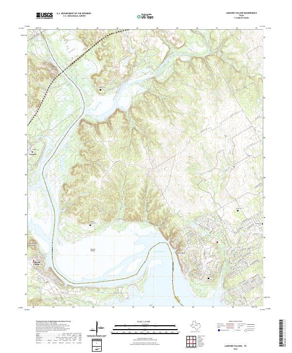
2022 Lakeside Village
Hill County, TX
2022 Peoria
Hill County, TX