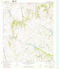
1965 Map of Files Valley
USGS Topo · Published 1979About this map
Files Valley and the surrounding Hill County landscape are defined by a complex network of waterways, including the winding Richland Creek and the forks of East Fork Weakly Branch. During the mid-1960s, this area supported significant local institutions such as the Presbyterian Childrens Home, a landmark for social history in the region. The map reveals an agrarian and industrial pattern, with numerous Gravel Pit operations dotting the terrain near established family and community sites like Berrys Chapel Cem. Several spillways and dams along the creeks suggest a focus on water management and erosion control in this period, while the inclusion of the Hill Co and Ellis Co boundary line provides a clear marker for genealogical research across county lines. Local history is further preserved through the locations of Files Cem and Turner Cem, which anchor the rural landscape.
Find a feature on this map
16 named features on this map. Tap any name to fly to it.
Don’t see what you’re looking for? This feature index may not catch every label — zoom into the map to look around manually.
Map Details
Editions of this 1965 Files Valley Map
2 editions found
Other maps of this area

1891 · Cleburne
USGS Topo · 1:125,000

1894 · Cleburne
USGS Topo · 1:125,000

1954 · Dallas
USGS Topo · 1:250,000

1958 · Dallas
USGS Topo · 1:250,000

1960 · Boz
USGS Topo · 1:24,000
1961 · Maypearl
USGS Topo · 1:24,000
1961 · Grandview
USGS Topo · 1:24,000
1965 · Files Valley
USGS Topo · 1:24,000
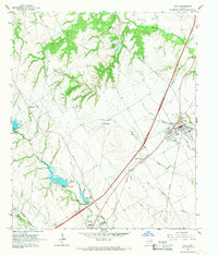
1965 · Italy
USGS Topo · 1:24,000
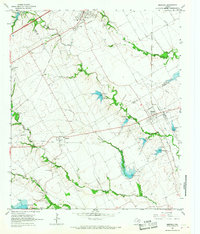
1965 · Mertens
USGS Topo · 1:24,000