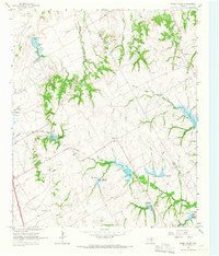
1965 Map of Files Valley
USGS Topo · Published 1967About this map
Files Valley and the smaller community of Files anchor this central Texas landscape along the border of Hill and Ellis counties during the mid-1960s. The area is defined by an extensive water management system designed for flood control and irrigation, featuring numerous numbered structures like Dam No 110 and Dam No 37 along Richland Creek and Itasca Creek. The topography is marked by deeply incised drainages such as Valley Branch and Weakly Branch, providing a look at rural land use before modern suburban expansion. For those researching local heritage, the map identifies several landmarks including the Presbyterian Childrens Home and multiple burial sites such as Files Cem and Berrys Chapel Cem. The proliferation of Gravel Pits across the terrain indicates the importance of local material extraction for regional infrastructure during this period.
Find a feature on this map
26 named features on this map. Tap any name to fly to it.
Don’t see what you’re looking for? This feature index may not catch every label — zoom into the map to look around manually.
Map Details
Editions of this 1965 Files Valley Map
2 editions found
Other maps of this area

1891 · Cleburne
USGS Topo · 1:125,000

1894 · Cleburne
USGS Topo · 1:125,000

1954 · Dallas
USGS Topo · 1:250,000

1958 · Dallas
USGS Topo · 1:250,000

1960 · Boz
USGS Topo · 1:24,000
1961 · Maypearl
USGS Topo · 1:24,000
1961 · Grandview
USGS Topo · 1:24,000
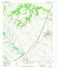
1965 · Italy
USGS Topo · 1:24,000
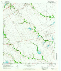
1965 · Mertens
USGS Topo · 1:24,000
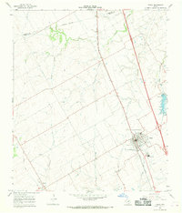
1965 · Itasca
USGS Topo · 1:24,000