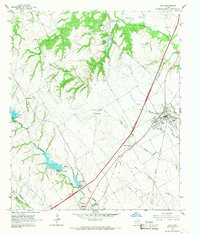
1965 Map of Italy
USGS Topo · Published 1967About this map
The blackland prairie of Ellis and Hill Counties is defined here by the intersection of rail and agriculture in the mid-1960s. Italy serves as the regional hub, where the Missouri Pacific and Missouri Kansas Texas (or M-K-T) rail lines converge. This transport network supported a landscape of scattered rural communities and family-named landmarks like Derrs Chapel and Center Point. The map captures an era of water management across the watershed, evidenced by Dam No 97 and Dam No 98 along Mill Creek. Local history is preserved through sites such as Bee Creek Cem and Stafford Sch, reflecting the infrastructure of established farming settlements before the expansion of modern highway corridors began to reshape the rural character of this Texas landscape.
Find a feature on this map
26 named features on this map. Tap any name to fly to it.
Don’t see what you’re looking for? This feature index may not catch every label — zoom into the map to look around manually.
Map Details
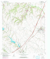
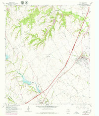
Editions of this 1965 Italy Map
3 editions found
Other maps of this area

1891 · Cleburne
USGS Topo · 1:125,000

1894 · Cleburne
USGS Topo · 1:125,000

1954 · Dallas
USGS Topo · 1:250,000

1958 · Dallas
USGS Topo · 1:250,000

1960 · Boz
USGS Topo · 1:24,000
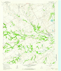
1961 · Maypearl
USGS Topo · 1:24,000

1961 · Forreston
USGS Topo · 1:24,000
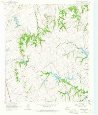
1965 · Files Valley
USGS Topo · 1:24,000
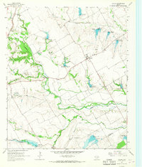
1965 · Avalon
USGS Topo · 1:24,000
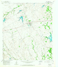
1965 · Frost
USGS Topo · 1:24,000