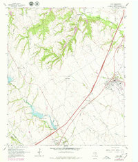
1965 Map of Italy
USGS Topo · Published 1979About this map
Italy and Milford serve as the primary anchors of this agricultural landscape in the mid-1960s, with several smaller communities and rural landmarks scattered across the Blackland Prairie. The Missouri Kansas Texas Railroad cuts a straight line through the territory, passing near Center Point and through the heart of the local settlements. A sophisticated network of water management is evident along Mill Creek, featuring several structures such as Dam No. 97 and Dam No. 98 A, which create significant reservoirs for the area.
Find a feature on this map
28 named features on this map. Tap any name to fly to it.
Don’t see what you’re looking for? This feature index may not catch every label — zoom into the map to look around manually.
Map Details
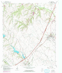
Editions of this 1965 Italy Map
3 editions found
Other maps of this area

1891 · Cleburne
USGS Topo · 1:125,000

1894 · Cleburne
USGS Topo · 1:125,000

1954 · Dallas
USGS Topo · 1:250,000

1958 · Dallas
USGS Topo · 1:250,000

1960 · Boz
USGS Topo · 1:24,000
1961 · Maypearl
USGS Topo · 1:24,000

1961 · Forreston
USGS Topo · 1:24,000
1965 · Files Valley
USGS Topo · 1:24,000
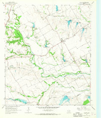
1965 · Avalon
USGS Topo · 1:24,000
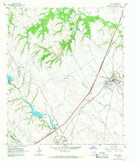
1965 · Italy
USGS Topo · 1:24,000