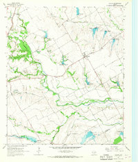
1965 Map of Avalon
USGS Topo · Published 1967About this map
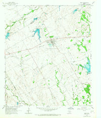
The agricultural community of Avalon serves as a central hub in this mid-1960s survey of south-central Ellis County. The landscape is defined by the winding course of Chambers Creek and its many tributaries, including Mill Branch, Spring Creek, and Hog Creek. A sophisticated network of water management is evident through numerous flood control structures, such as Dam No 89 and Dam No 107, which manage drainage into Fort Lake and the broader basin. To the northwest, the Missouri-Kansas-Texas railroad cuts through the terrain near the settlement of Lumkins. For genealogists and local historians, several family and community burial sites are documented, including Hughes Cem, Maloney Cem, and Dean Cem. The presence of several Roadside Parks and Gravel Pit locations indicates the local infrastructure and industry of the era, while the Ellis Co Navarro Co line marks the southern boundary of the study area.
Find a feature on this map
37 named features on this map. Tap any name to fly to it.
Don’t see what you’re looking for? This feature index may not catch every label — zoom into the map to look around manually.
Map Details
Editions of this 1965 Avalon Map
2 editions found
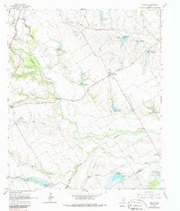
Other maps of this area

1954 · Dallas
USGS Topo · 1:250,000

1956 · Ennis
USGS Topo · 1:62,500

1958 · Dallas
USGS Topo · 1:250,000

1960 · Boz
USGS Topo · 1:24,000

1961 · Forreston
USGS Topo · 1:24,000

1962 · Ennis West
USGS Topo · 1:24,000

1962 · Cryer Creek
USGS Topo · 1:24,000
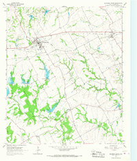
1965 · Blooming Grove
USGS Topo · 1:24,000
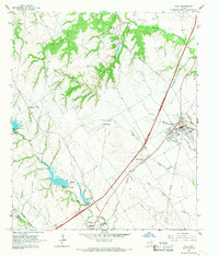
1965 · Italy
USGS Topo · 1:24,000
1965 · Frost
USGS Topo · 1:24,000