
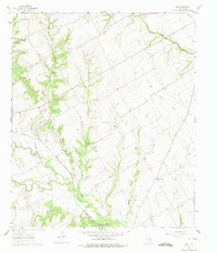
1960 Map of Boz
USGS Topo · Published 1963About this map
Boz and the surrounding Ellis County countryside appear here as a landscape shaped by a dense network of seasonal waterways and local agriculture. The terrain is defined by the convergence of the North Fork Chambers Creek and the South Fork Chambers Creek, along with numerous smaller tributaries like Greathouse Branch and Baker Branch. These drainage patterns influenced the placement of early rural hubs such as Five Points, while the presence of the Missouri Pacific railroad provided a vital link to larger markets.
Find a feature on this map
19 named features on this map. Tap any name to fly to it.
Don’t see what you’re looking for? This feature index may not catch every label — zoom into the map to look around manually.
Map Details
Editions of this 1960 Boz Map
4 editions found
Other maps of this area

1891 · Cleburne
USGS Topo · 1:125,000

1894 · Cleburne
USGS Topo · 1:125,000

1954 · Dallas
USGS Topo · 1:250,000

1958 · Dallas
USGS Topo · 1:250,000
1961 · Maypearl
USGS Topo · 1:24,000

1961 · Forreston
USGS Topo · 1:24,000
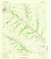
1961 · Midlothian
USGS Topo · 1:24,000
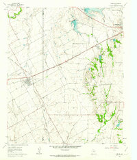
1961 · Venus
USGS Topo · 1:24,000
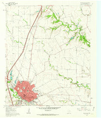
1961 · Waxahachie
USGS Topo · 1:24,000
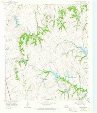
1965 · Files Valley
USGS Topo · 1:24,000