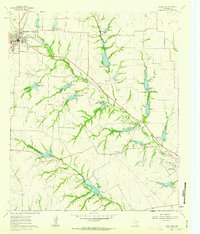
1961 Map of Midlothian
USGS Topo · Published 1963About this map
Midlothian stands as a busy rail crossroads in the northwest corner of this 1961 survey, where the Gulf Colorado And Santa Fe and Southern Pacific lines intersect. The surrounding Ellis County landscape is defined by the branching waters of North Prong Waxahachie Creek and South Prong Creek, which are dotted with numerous small earthen dams and spillways creating local water reservoirs. Evidence of the region’s agrarian roots and community centers are visible at Lone Elm and Sardis, alongside rural institutions like the Washington Sch and Mt Zion Cem. On the southeastern edge, the outskirts of Waxahachie appear near the United Presbyterian Homes, marking the edge of the county seat's mid-century expansion. The map also captures local industry through various Gravel Pit operations scattered across the drainage basins.
Find a feature on this map
27 named features on this map. Tap any name to fly to it.
Don’t see what you’re looking for? This feature index may not catch every label — zoom into the map to look around manually.
Map Details
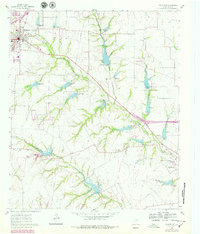
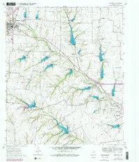
Editions of this 1961 Midlothian Map
3 editions found
Other maps of this area

1891 · Dallas
USGS Topo · 1:125,000

1891 · Cleburne
USGS Topo · 1:125,000

1893 · Dallas
USGS Topo · 1:125,000

1894 · Cleburne
USGS Topo · 1:125,000

1894 · Fort Worth
USGS Topo · 1:125,000

1954 · Dallas
USGS Topo · 1:250,000

1958 · Dallas
USGS Topo · 1:250,000

1959 · Lancaster
USGS Topo · 1:24,000

1959 · Cedar Hill
USGS Topo · 1:24,000

1959 · Britton
USGS Topo · 1:24,000