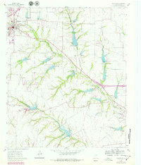
1961 Map of Midlothian
USGS Topo · Published 1979About this map
Midlothian serves as the primary hub of this North Texas landscape, where the crossing of the Gulf Colorado and Santa Fe and Southern Pacific railroads defined the local economy during the mid-20th century. The map reveals a transition from the structured town grid, including the Washington Sch, to a rural expanse dominated by creeks and small-scale agriculture. The drainage patterns of Waxahachie Creek and its many branches, such as Elm Branch and Long Branch, dictate the placement of early settlements like Sardis and Lone Elm.
Find a feature on this map
30 named features on this map. Tap any name to fly to it.
Don’t see what you’re looking for? This feature index may not catch every label — zoom into the map to look around manually.
Map Details
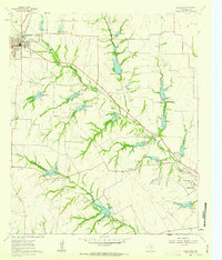
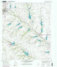
Editions of this 1961 Midlothian Map
3 editions found
Other maps of this area

1891 · Dallas
USGS Topo · 1:125,000

1891 · Cleburne
USGS Topo · 1:125,000

1893 · Dallas
USGS Topo · 1:125,000

1894 · Cleburne
USGS Topo · 1:125,000

1894 · Fort Worth
USGS Topo · 1:125,000

1954 · Dallas
USGS Topo · 1:250,000

1958 · Dallas
USGS Topo · 1:250,000

1959 · Lancaster
USGS Topo · 1:24,000

1959 · Cedar Hill
USGS Topo · 1:24,000

1959 · Britton
USGS Topo · 1:24,000