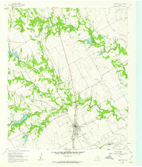
1961 Map of Grandview
USGS Topo · Published 1963About this map
The Missouri Kansas Texas railroad anchors the central corridor of this North Texas landscape, passing directly through the community of Grandview. This 1961 field-checked survey reveals a rural society structured around watercourses and small local centers, with Antioch and Barnesville serving as notable landmarks in the surrounding countryside. The drainage system of the Chambers Creek forks, including North Fork Chambers Creek and Middle Fork Chambers Creek, dictates the topography and creates a network of wooded creek bottoms. Genealogists will find an exceptional density of family and community burial sites across the quadrangle, from the Old Hill Cem near the town center to more rural locations like Antioch Rest Cem, Oakland Cem, and Boatright Cem. The map also details early utility infrastructure such as a Substation and the rural Greenbrier Ch, providing a clear look at the area's development before modern suburban expansion.
Find a feature on this map
22 named features on this map. Tap any name to fly to it.
Don’t see what you’re looking for? This feature index may not catch every label — zoom into the map to look around manually.
Map Details
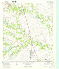
Editions of this 1961 Grandview Map
2 editions found
Other maps of this area

1891 · Cleburne
USGS Topo · 1:125,000

1894 · Cleburne
USGS Topo · 1:125,000

1927 · Blum
USGS Topo · 1:62,500

1954 · Dallas
USGS Topo · 1:250,000

1958 · Dallas
USGS Topo · 1:250,000

1960 · Keene
USGS Topo · 1:24,000

1960 · Cleburne East
USGS Topo · 1:24,000
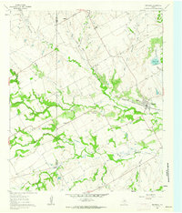
1961 · Maypearl
USGS Topo · 1:24,000

1961 · Alvarado
USGS Topo · 1:24,000
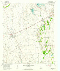
1961 · Venus
USGS Topo · 1:24,000