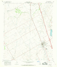
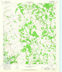
1965 Map of Itasca
USGS Topo · Published 1968About this map
Itasca serves as the primary hub of this North Texas landscape, situated along the Missouri Kansas Texas railroad line. The settlement's layout includes a localized High Sch, a Cem on its southern edge, and essential mid-century infrastructure like a Substation and Water Tank. The surrounding terrain is defined by a dense network of drainage systems, including the meandering paths of Island Creek, Cottonwood Creek, and Hayden Creek.
Find a feature on this map
18 named features on this map. Tap any name to fly to it.
Don’t see what you’re looking for? This feature index may not catch every label — zoom into the map to look around manually.
Map Details
Editions of this 1965 Itasca Map
This is the sole edition of this map. No revisions or reprints were ever made.
Other maps of this area

1891 · Cleburne
USGS Topo · 1:125,000

1894 · Cleburne
USGS Topo · 1:125,000

1927 · Blum
USGS Topo · 1:62,500

1954 · Dallas
USGS Topo · 1:250,000

1958 · Dallas
USGS Topo · 1:250,000

1960 · Cleburne East
USGS Topo · 1:24,000
1961 · Maypearl
USGS Topo · 1:24,000
1961 · Grandview
USGS Topo · 1:24,000
1965 · Files Valley
USGS Topo · 1:24,000
1966 · Blanton
USGS Topo · 1:24,000