
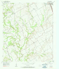
1966 Map of Hillsboro East
USGS Topo · Published 1979About this map
Hillsboro serves as the focal point of this Central Texas survey, revealing a town defined by its educational and transport infrastructure during the late 1960s. The presence of Hill Jr College and several local schools, including Franklin Sch, Travis Sch, and Peabody Sch, highlights the community's civic priorities. A sophisticated water management system is visible across the landscape, with numerous numbered structures such as Dam No 51 through Dam No 62 regulating the flow of local tributaries like White Rock Creek and Pecan Creek.
Find a feature on this map
41 named features on this map. Tap any name to fly to it.
Don’t see what you’re looking for? This feature index may not catch every label — zoom into the map to look around manually.
Map Details
Editions of this 1966 Hillsboro East Map
2 editions found

Other maps of this area

1891 · Cleburne
USGS Topo · 1:125,000

1892 · Waco
USGS Topo · 1:125,000

1894 · Cleburne
USGS Topo · 1:125,000

1920 · Waco
USGS Topo · 1:125,000

1954 · Dallas
USGS Topo · 1:250,000

1954 · Waco
USGS Topo · 1:250,000

1955 · Waco
USGS Topo · 1:250,000

1956 · Abbott
USGS Topo · 1:24,000
1957 · Peoria
USGS Topo · 1:24,000

1957 · Malone
USGS Topo · 1:24,000