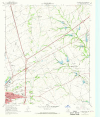
1966 Map of Hillsboro East
USGS Topo · Published 1968About this map
The county seat of Hillsboro anchor this 1960s landscape, where urban growth meets a meticulously managed agricultural drainage system. The western edge of the map features the campus of Hill Jr College and the Travis Sch, alongside civic landmarks like the Hillsboro Municipal Airport and the local Hospital. Transportation is defined by the Missouri Kansas Texas Railroad, which cuts through the terrain near several industrial Gravel Pits.
Find a feature on this map
38 named features on this map. Tap any name to fly to it.
Don’t see what you’re looking for? This feature index may not catch every label — zoom into the map to look around manually.
Map Details
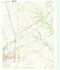
Editions of this 1966 Hillsboro East Map
2 editions found
Other maps of this area

1891 · Cleburne
USGS Topo · 1:125,000

1892 · Waco
USGS Topo · 1:125,000

1894 · Cleburne
USGS Topo · 1:125,000

1920 · Waco
USGS Topo · 1:125,000

1954 · Dallas
USGS Topo · 1:250,000

1954 · Waco
USGS Topo · 1:250,000

1955 · Waco
USGS Topo · 1:250,000

1956 · Abbott
USGS Topo · 1:24,000
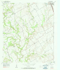
1957 · Peoria
USGS Topo · 1:24,000
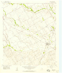
1957 · Malone
USGS Topo · 1:24,000