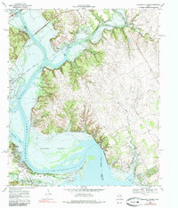
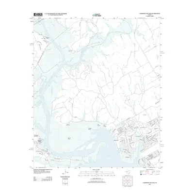
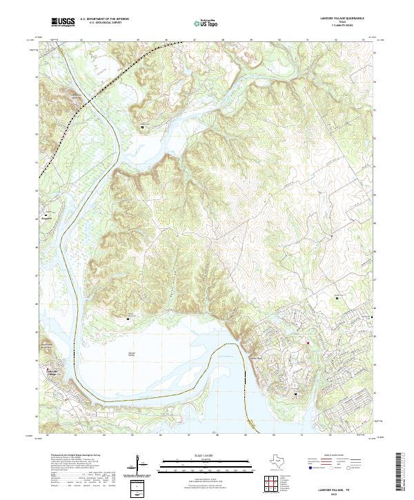
1968 Map of Lakeside Village
USGS Topo · Published 1985About this map
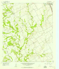
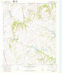
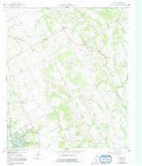
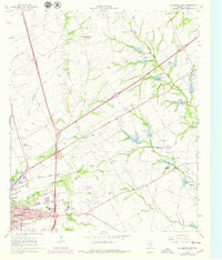
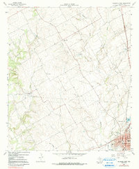
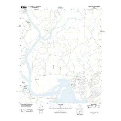
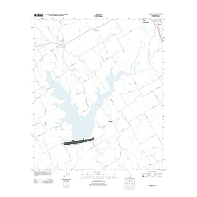
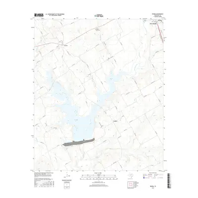
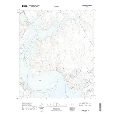
The confluence of the Brazos River and Nolan River dominates this landscape on the border of Hill and Bosque Counties. Following the construction of the Whitney Dam, the rising waters of Lake Whitney have transformed the area, inundating low-lying regions like Steiner Valley and creating a jagged shoreline punctuated by recreation areas such as Steele Creek Park and Nolan River Park. The map documents a landscape in transition, where the Gulf Colorado and Santa Fe Railroad cuts across the terrain near Kopperl and Plowman. Local history is preserved through the locations of the Steiner Valley Cem, Heath Cem, and Fort Graham Cem, while geographic landmarks like the Powelldale Mountains and Robison Bluff provide a sense of the pre-reservoir topography. The small settlement of Lakeside Village sits at the water's edge, reflecting the region's shift toward a lakeside economy.
Find a feature on this map
43 named features on this map. Tap any name to fly to it.
Don’t see what you’re looking for? This feature index may not catch every label — zoom into the map to look around manually.
Map Details
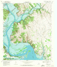
Editions of this 1968 Lakeside Village Map
2 editions found
Historical Maps of Lakeside Village Through Time
43 maps found
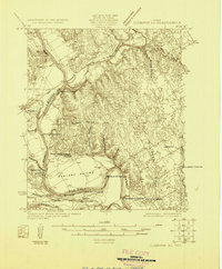
1924 Cleburne 3-C
Hill County, TX
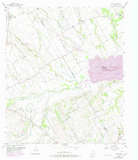
1957 Irene
Hill County, TX
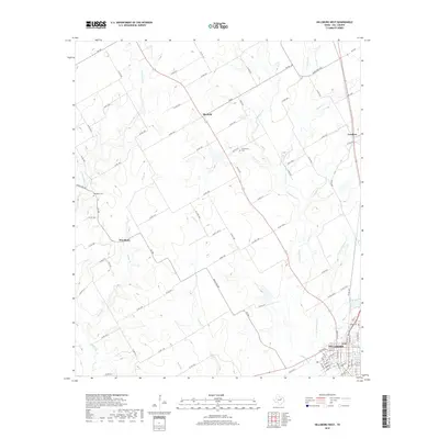
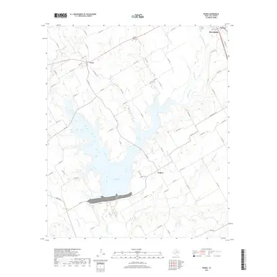
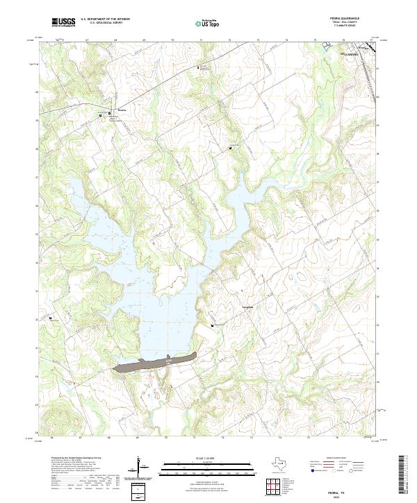
1957 Peoria
Hill County, TX
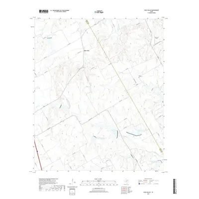
1965 Files Valley
Hill County, TX
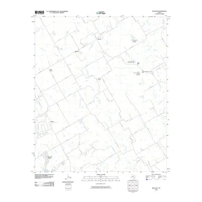
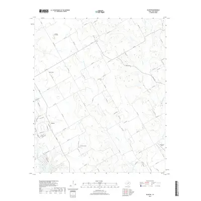
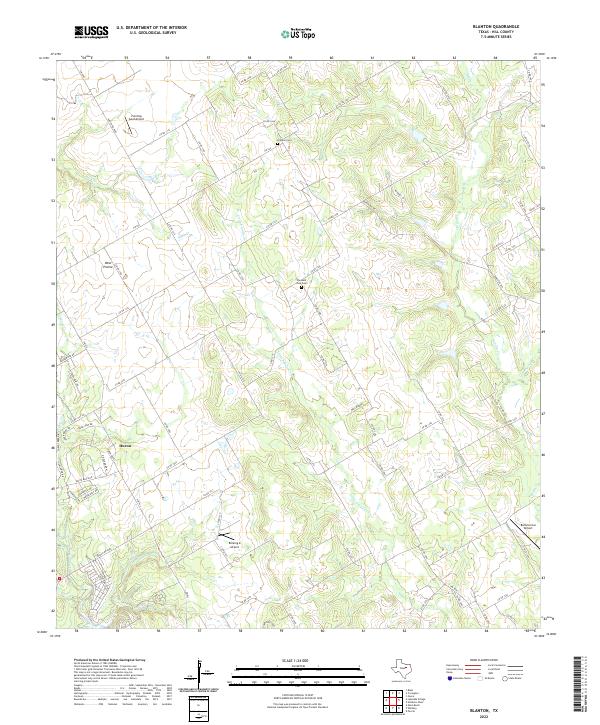
1966 Blanton
Hill County, TX
1966 Hillsboro East
Hill County, TX
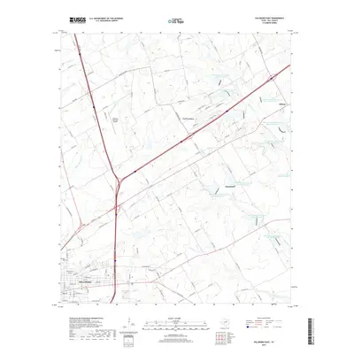
1966 Hillsboro West
Hill County, TX
1968 Lakeside Village
Hill County, TX
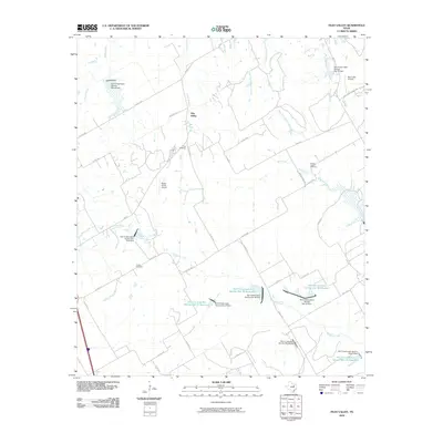
2010 Blanton
Hill County, TX
2010 Files Valley
Hill County, TX
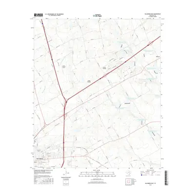
2010 Hillsboro East
Hill County, TX
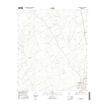
2010 Hillsboro West
Hill County, TX
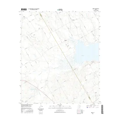
2010 Irene
Hill County, TX
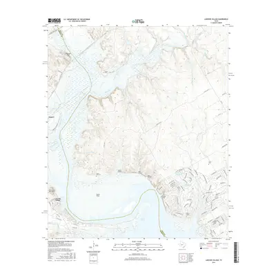
2010 Lakeside Village
Hill County, TX

2010 Peoria
Hill County, TX
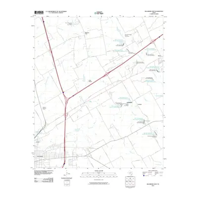
2012 Blanton
Hill County, TX
2012 Files Valley
Hill County, TX
2012 Hillsboro East
Hill County, TX
2012 Hillsboro West
Hill County, TX
2012 Lakeside Village
Hill County, TX
2012 Peoria
Hill County, TX
2013 Irene
Hill County, TX
2016 Blanton
Hill County, TX
2016 Files Valley
Hill County, TX
2016 Hillsboro East
Hill County, TX
2016 Hillsboro West
Hill County, TX
2016 Irene
Hill County, TX
2016 Lakeside Village
Hill County, TX
2016 Peoria
Hill County, TX
2019 Blanton
Hill County, TX
2019 Files Valley
Hill County, TX
2019 Hillsboro East
Hill County, TX
2019 Hillsboro West
Hill County, TX

2019 Irene
Hill County, TX
2019 Lakeside Village
Hill County, TX
2019 Peoria
Hill County, TX
2022 Blanton
Hill County, TX
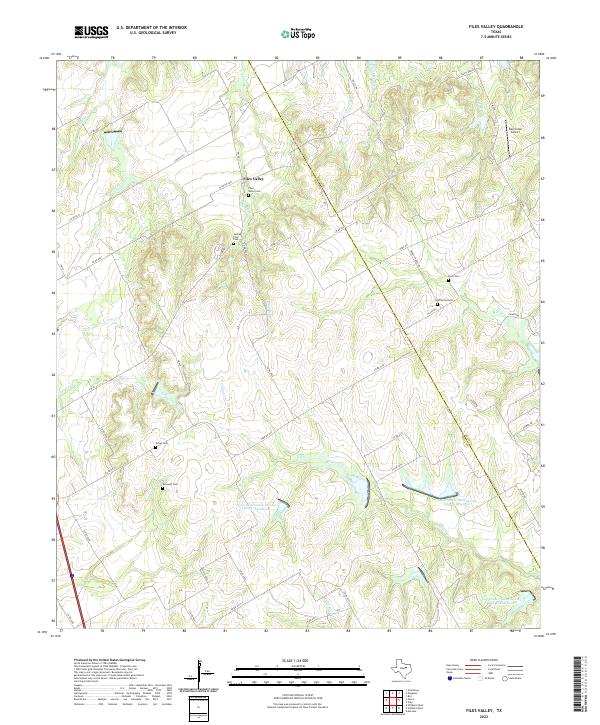
2022 Files Valley
Hill County, TX
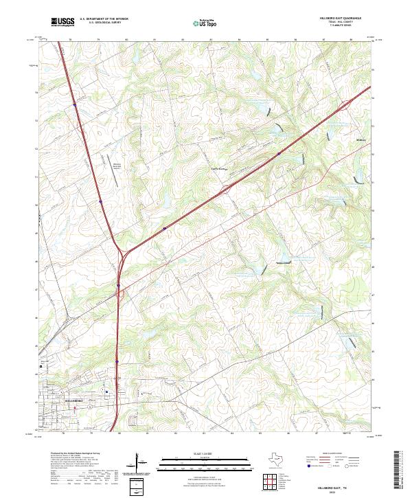
2022 Hillsboro East
Hill County, TX
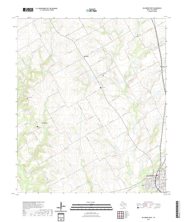
2022 Hillsboro West
Hill County, TX
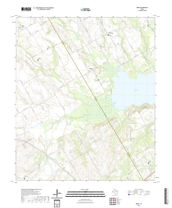
2022 Irene
Hill County, TX
2022 Lakeside Village
Hill County, TX
2022 Peoria
Hill County, TX