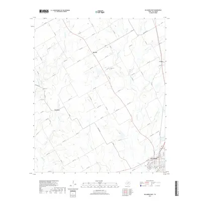
2019 Map of Hillsboro West
USGS Topo · Published 2019About this map
Hillsboro occupies the southeastern corner of this Central Texas landscape, where the urban grid of the county seat meets the drainage networks of the Blackland Prairie. The terrain is defined by a dense web of seasonal watercourses, including Aquilla Cr, Hackberry Cr, and Little Hackberry Cr, which flow generally southward. Smaller rural settlements such as Woodbury, Mayfield, and Lovelace are linked by a complex system of farm-to-market and county roads that navigate the subtle rises between creek beds.
Find a feature on this map
89 named features on this map. Tap any name to fly to it.
Don’t see what you’re looking for? This feature index may not catch every label — zoom into the map to look around manually.
Map Details
Editions of this 2019 Hillsboro West Map
This is the sole edition of this map. No revisions or reprints were ever made.
Other maps of this area

1891 · Cleburne
USGS Topo · 1:125,000

1892 · Waco
USGS Topo · 1:125,000

1894 · Cleburne
USGS Topo · 1:125,000

1920 · Waco
USGS Topo · 1:125,000

1927 · Blum
USGS Topo · 1:62,500

1931 · Whitney
USGS Topo · 1:62,500

1954 · Dallas
USGS Topo · 1:250,000

1954 · Waco
USGS Topo · 1:250,000

1955 · Waco
USGS Topo · 1:250,000

1956 · Abbott
USGS Topo · 1:24,000