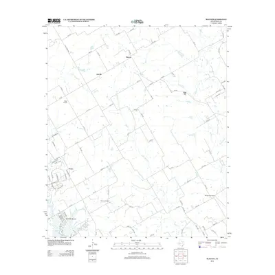
2012 Map of Blanton
USGS Topo · Published 2012About this map
Blanton and the surrounding rural landscape of Hill County are defined by a network of ranch roads and winding waterways. The topography is shaped by the drainage of Aquilla Cr and Little Aquilla Cr, which flow south toward the northern reaches of Lake Whitney. This 2012 survey illustrates the transition from traditional agricultural settlements like West Prairie and Grub Hill to more modern developments. To the southwest, the recreational influence of the reservoir is evident in the clustered streets of Live Oak Resorts and the lakeside community of Huron. Local history and aviation interests are reflected in landmarks such as the Jawbone Cem and private airfields including Rocking A Airport and Barnstormer Airport, highlighting the region's blend of legacy land use and contemporary rural living.
Find a feature on this map
89 named features on this map. Tap any name to fly to it.
Don’t see what you’re looking for? This feature index may not catch every label — zoom into the map to look around manually.
Map Details
Editions of this 2012 Blanton Map
This is the sole edition of this map. No revisions or reprints were ever made.
Other maps of this area

1891 · Cleburne
USGS Topo · 1:125,000

1892 · Waco
USGS Topo · 1:125,000

1894 · Cleburne
USGS Topo · 1:125,000

1920 · Waco
USGS Topo · 1:125,000

1924 · Cleburne 3-B
USGS Topo · 1:48,000

1924 · Waco 2-b
USGS Topo · 1:48,000

1924 · Cleburne 3-C
USGS Topo · 1:48,000

1927 · Blum
USGS Topo · 1:62,500

1931 · Whitney
USGS Topo · 1:62,500

1954 · Dallas
USGS Topo · 1:250,000