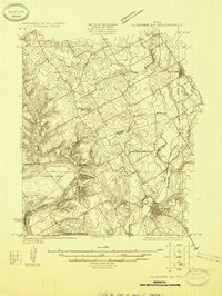
1924 Map of Cleburne 3-B
USGS Topo · Published 1924About this map
The Brazos River carves a deep, winding path through the southwestern portion of this survey, creating the prominent Kimball Bend near the Klondike Ranch. This 1920s topography highlights the transition from the river lowlands to the elevated terrain of Johnson Co Hill. Settlement is concentrated along the rail corridors in the east, where the Gulf Colorado and Santa Fe and Santa Fe lines serve the towns of Rio Vista and Blum. The landscape between these hubs is primarily agricultural, marked by rural schoolhouses such as Plain View School, Live Oak School, and Greenbrier School. Numerous seasonal drainages like Nolands Branch and Mustang Creek feed into the Nolands River, while the western hills are defined by deep cuts like Possum Hollow and Broken Rock Hollow.
Find a feature on this map
22 named features on this map. Tap any name to fly to it.
Don’t see what you’re looking for? This feature index may not catch every label — zoom into the map to look around manually.
Map Details
Editions of this 1924 Cleburne 3-B Map
This is the sole edition of this map. No revisions or reprints were ever made.
Historical Maps of Rio Vista Through Time
26 maps found
1924 Cleburne 3-B
Johnson County, TX
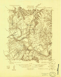
1924 Granbury 4-a
Johnson County, TX
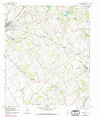
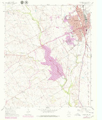
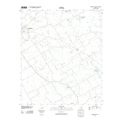
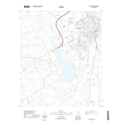
1960 Cleburne East
Johnson County, TX
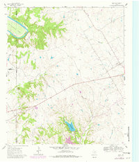
1961 Bono
Johnson County, TX
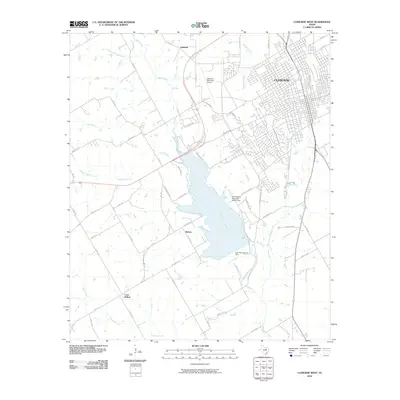
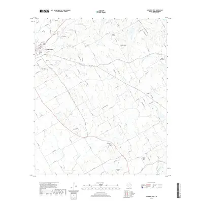
1961 Cleburne West
Johnson County, TX
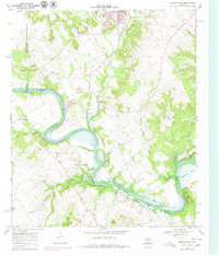
1968 Brazos Point
Johnson County, TX
2010 Bono
Johnson County, TX
2010 Brazos Point
Johnson County, TX
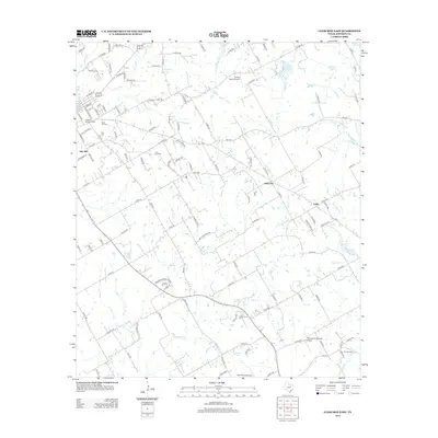
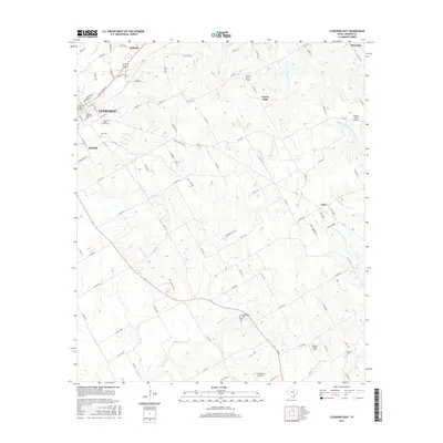
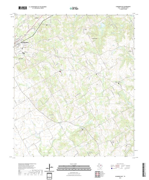
2010 Cleburne East
Johnson County, TX
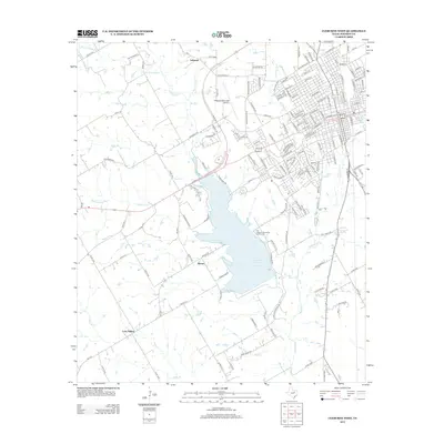
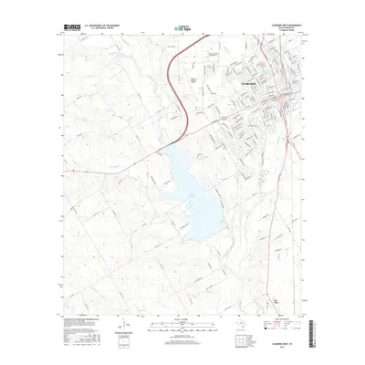
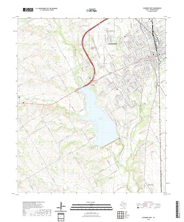
2010 Cleburne West
Johnson County, TX
2012 Cleburne East
Johnson County, TX
2012 Cleburne West
Johnson County, TX
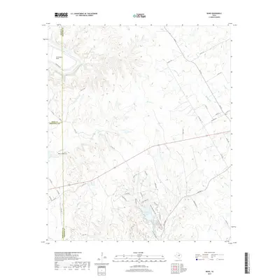
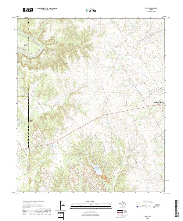
2013 Bono
Johnson County, TX
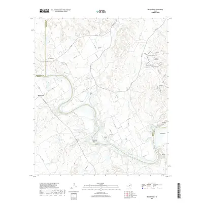
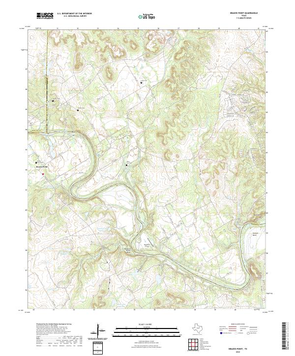
2013 Brazos Point
Johnson County, TX
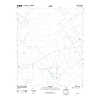
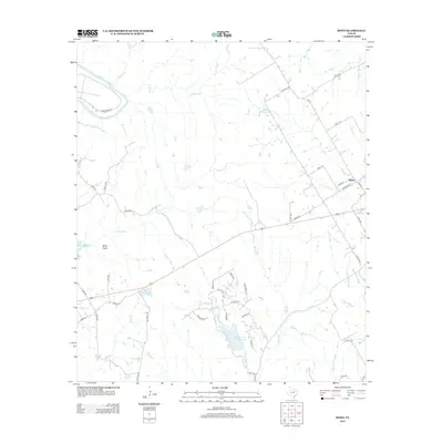
2016 Bono
Johnson County, TX
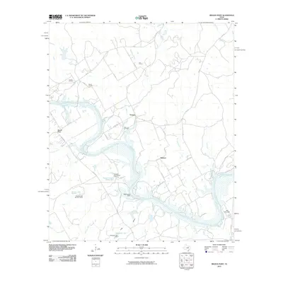
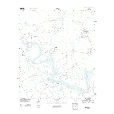
2016 Brazos Point
Johnson County, TX
2016 Cleburne East
Johnson County, TX
2016 Cleburne West
Johnson County, TX
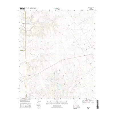
2019 Bono
Johnson County, TX
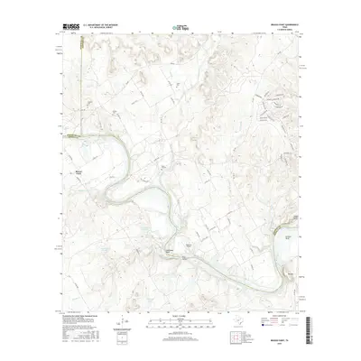
2019 Brazos Point
Johnson County, TX
2019 Cleburne East
Johnson County, TX
2019 Cleburne West
Johnson County, TX
2022 Bono
Johnson County, TX
2022 Brazos Point
Johnson County, TX
2022 Cleburne East
Johnson County, TX
2022 Cleburne West
Johnson County, TX