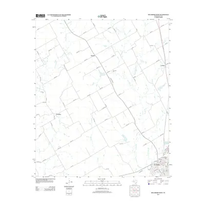
2012 Map of Hillsboro West
USGS Topo · Published 2012About this map
The Hillsboro Residential Historic District anchors the southeastern corner of this Hill County landscape, representing a significant concentration of local architecture and history. Just north of the town center, the Hillsboro Cotton Mills stands as a marker of the region's industrial past. The surrounding countryside is defined by a dense network of county roads that connect outlying settlements like Mayfield, Woodbury, and Lovelace. This area is carved by numerous watercourses, including Aquilla Creek and Hackberry Creek, which drain the agricultural land between these communities. Genealogists will find the Woodbury Cemetery and Prairiedale Cemetery valuable for tracing early family lineages in this part of Texas. To the east, Katy Lake provides a distinct water feature near the modern expansion of Hillsboro.
Find a feature on this map
88 named features on this map. Tap any name to fly to it.
Don’t see what you’re looking for? This feature index may not catch every label — zoom into the map to look around manually.
Map Details
Editions of this 2012 Hillsboro West Map
This is the sole edition of this map. No revisions or reprints were ever made.
Other maps of this area

1891 · Cleburne
USGS Topo · 1:125,000

1892 · Waco
USGS Topo · 1:125,000

1894 · Cleburne
USGS Topo · 1:125,000

1920 · Waco
USGS Topo · 1:125,000

1927 · Blum
USGS Topo · 1:62,500

1931 · Whitney
USGS Topo · 1:62,500

1954 · Dallas
USGS Topo · 1:250,000

1954 · Waco
USGS Topo · 1:250,000

1955 · Waco
USGS Topo · 1:250,000

1956 · Abbott
USGS Topo · 1:24,000