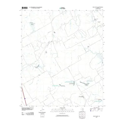
2010 Map of Files Valley
USGS Topo · Published 2010About this map
Files Valley sits at the center of this rural Hill County landscape, defined by a network of drainage basins and soil conservation infrastructure. The area is dominated by the upper reaches of Richland Creek and its various tributaries, including Itasca Creek, Valley Branch, and Mill Creek. A significant characteristic of this 2010 map is the extensive series of reservoirs and dams managed by the Soil Conservation Service, such as Soil Conservation Service Site 37 and Site 41, which dot the landscape to manage water runoff across the agricultural plains.
Find a feature on this map
51 named features on this map. Tap any name to fly to it.
Don’t see what you’re looking for? This feature index may not catch every label — zoom into the map to look around manually.
Map Details
Editions of this 2010 Files Valley Map
This is the sole edition of this map. No revisions or reprints were ever made.
Other maps of this area

1891 · Cleburne
USGS Topo · 1:125,000

1894 · Cleburne
USGS Topo · 1:125,000

1954 · Dallas
USGS Topo · 1:250,000

1958 · Dallas
USGS Topo · 1:250,000

1960 · Boz
USGS Topo · 1:24,000
1961 · Maypearl
USGS Topo · 1:24,000
1961 · Grandview
USGS Topo · 1:24,000
1965 · Files Valley
USGS Topo · 1:24,000
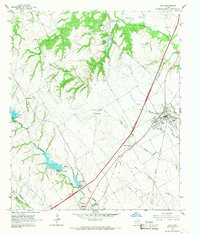
1965 · Italy
USGS Topo · 1:24,000
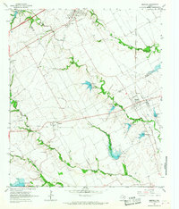
1965 · Mertens
USGS Topo · 1:24,000