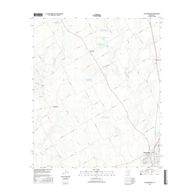
2016 Map of Hillsboro West
USGS Topo · Published 2016About this map
Hillsboro occupies the southeastern corner of this map, revealing a dense grid of residential streets such as W Elm St and W Walnut St alongside Park Ridge Cem. Beyond the city limits, the terrain transitions into a landscape of agricultural roads and managed water systems. Numerous reservoirs, including the Grade Stabilization Structure 105 Reservoir, indicate a coordinated effort to control erosion and manage water across the local drainage basins of Hackberry Cr and Aquilla Cr.
Find a feature on this map
96 named features on this map. Tap any name to fly to it.
Don’t see what you’re looking for? This feature index may not catch every label — zoom into the map to look around manually.
Map Details
Editions of this 2016 Hillsboro West Map
This is the sole edition of this map. No revisions or reprints were ever made.
Other maps of this area

1891 · Cleburne
USGS Topo · 1:125,000

1892 · Waco
USGS Topo · 1:125,000

1894 · Cleburne
USGS Topo · 1:125,000

1920 · Waco
USGS Topo · 1:125,000

1927 · Blum
USGS Topo · 1:62,500

1931 · Whitney
USGS Topo · 1:62,500

1954 · Dallas
USGS Topo · 1:250,000

1954 · Waco
USGS Topo · 1:250,000

1955 · Waco
USGS Topo · 1:250,000

1956 · Abbott
USGS Topo · 1:24,000