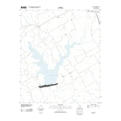
2010 Map of Peoria
USGS Topo · Published 2010About this map
Aquilla Lake dominates this portion of Hill County, its expansive waters contained by the Aquilla Dam at the southern edge. The landscape is a network of rural routes and small settlements that reflect the agricultural history of the region. The community of Peoria sits at the intersection of several county roads, while Vaughan is located further south, adjacent to the Vaughan Cemetery. The eastern edges of the map transition into the outskirts of Hillsboro and the small siding of Winslow.
Find a feature on this map
55 named features on this map. Tap any name to fly to it.
Don’t see what you’re looking for? This feature index may not catch every label — zoom into the map to look around manually.
Map Details
Editions of this 2010 Peoria Map
This is the sole edition of this map. No revisions or reprints were ever made.
Other maps of this area

1891 · Cleburne
USGS Topo · 1:125,000

1892 · Waco
USGS Topo · 1:125,000

1894 · Cleburne
USGS Topo · 1:125,000

1920 · Waco
USGS Topo · 1:125,000

1927 · Blum
USGS Topo · 1:62,500

1931 · Whitney
USGS Topo · 1:62,500

1954 · Dallas
USGS Topo · 1:250,000

1954 · Waco
USGS Topo · 1:250,000

1955 · Waco
USGS Topo · 1:250,000

1956 · Abbott
USGS Topo · 1:24,000