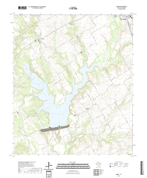
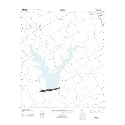
2022 Map of Peoria
USGS Topo · Published 2022About this map
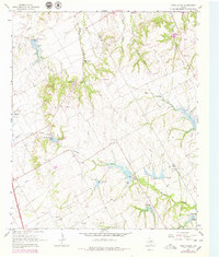
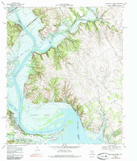
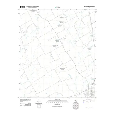
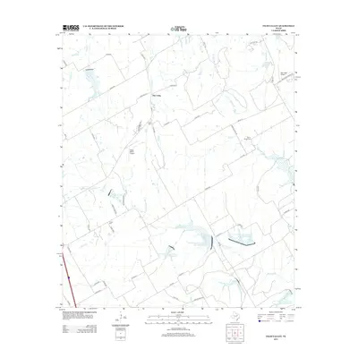
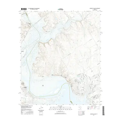
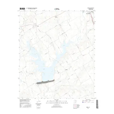
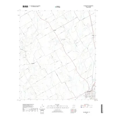
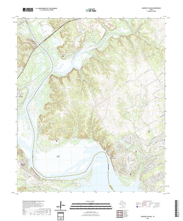
Peoria and Vaughan serve as the primary focal points in this Hill County landscape, where the waters of Aquilla Lake dominate the central terrain. The map reveals a high density of burial grounds, providing significant value for genealogical research, including the Peoria Cem with its Rogers T Davidson Addition, the Vaughan Cem, and the Hillcrest Garden Of Memory Cem. These sites, along with the Odom Cem and Hickey Cem, are connected by a network of rural routes such as Co RD 1313 and FM 1947.
Find a feature on this map
70 named features on this map. Tap any name to fly to it.
Don’t see what you’re looking for? This feature index may not catch every label — zoom into the map to look around manually.
Map Details
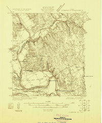
Editions of this 2022 Peoria Map
This is the sole edition of this map. No revisions or reprints were ever made.
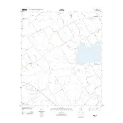
Historical Maps of Hillsboro Through Time
43 maps found
1924 Cleburne 3-C
Hill County, TX
1957 Irene
Hill County, TX
1957 Peoria
Hill County, TX
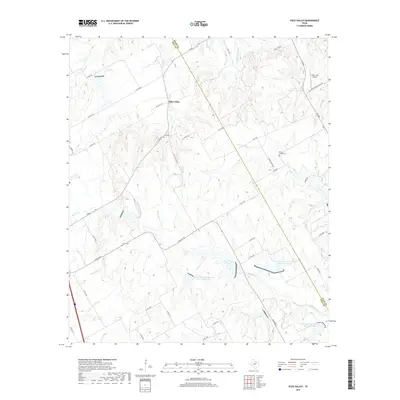
1965 Files Valley
Hill County, TX
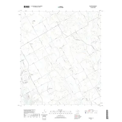
1966 Blanton
Hill County, TX
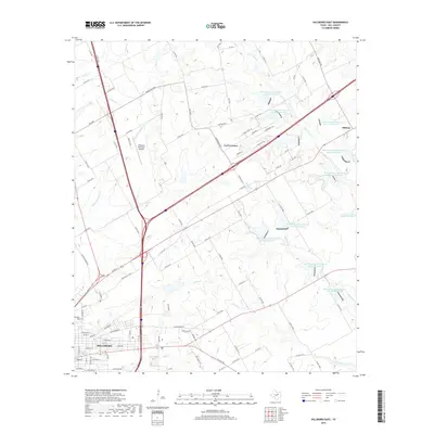
1966 Hillsboro East
Hill County, TX
1966 Hillsboro West
Hill County, TX
1968 Lakeside Village
Hill County, TX
2010 Blanton
Hill County, TX
2010 Files Valley
Hill County, TX
2010 Hillsboro East
Hill County, TX
2010 Hillsboro West
Hill County, TX
2010 Irene
Hill County, TX
2010 Lakeside Village
Hill County, TX

2010 Peoria
Hill County, TX
2012 Blanton
Hill County, TX
2012 Files Valley
Hill County, TX
2012 Hillsboro East
Hill County, TX
2012 Hillsboro West
Hill County, TX
2012 Lakeside Village
Hill County, TX
2012 Peoria
Hill County, TX
2013 Irene
Hill County, TX
2016 Blanton
Hill County, TX
2016 Files Valley
Hill County, TX
2016 Hillsboro East
Hill County, TX
2016 Hillsboro West
Hill County, TX
2016 Irene
Hill County, TX
2016 Lakeside Village
Hill County, TX
2016 Peoria
Hill County, TX
2019 Blanton
Hill County, TX
2019 Files Valley
Hill County, TX
2019 Hillsboro East
Hill County, TX
2019 Hillsboro West
Hill County, TX

2019 Irene
Hill County, TX
2019 Lakeside Village
Hill County, TX
2019 Peoria
Hill County, TX
2022 Blanton
Hill County, TX
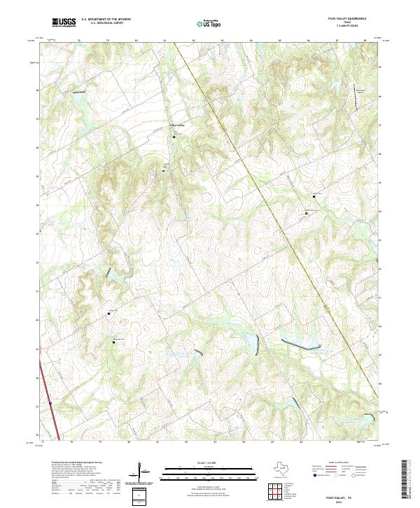
2022 Files Valley
Hill County, TX
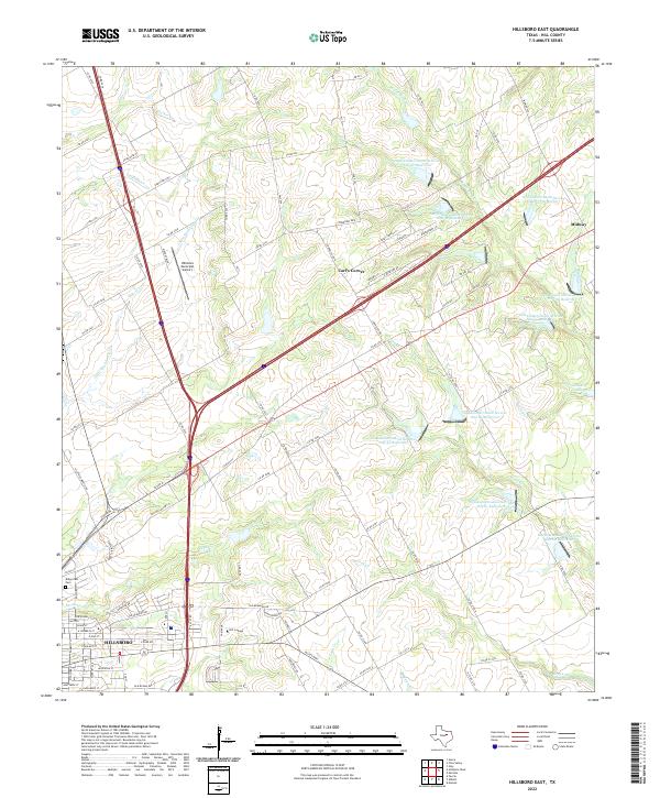
2022 Hillsboro East
Hill County, TX
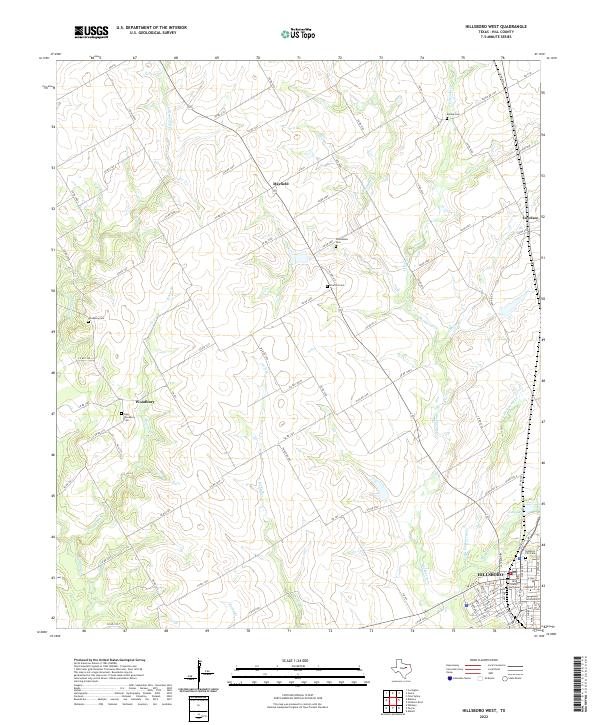
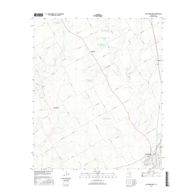
2022 Hillsboro West
Hill County, TX
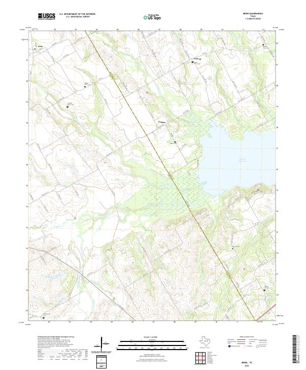
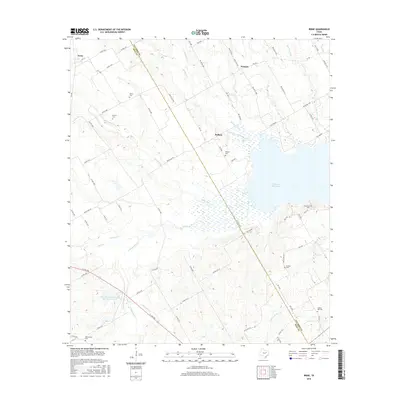
2022 Irene
Hill County, TX
2022 Lakeside Village
Hill County, TX
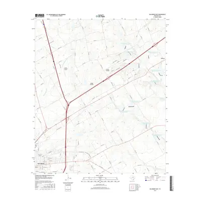
2022 Peoria
Hill County, TX