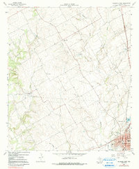
1966 Map of Hillsboro West
USGS Topo · Published 1991About this map
The county seat of Hillsboro anchor the southeast corner of this mid-1960s survey, showing a network of civic infrastructure from the Courthouse and City Hall to the Armory and local schools like Harris Sch. The landscape is defined by the branching tributaries of the Brazos River basin, with Hackberry Creek and Cattail Branch cutting through the rolling Hill County terrain. An Old Railroad Grade and an Old RR Grade trace a diagonal path across the center of the sheet, marking the former route of the rail lines that once fueled the growth of settlements like Mayfield. Small rural communities remain centered around landmarks such as the Woodbury Cem and Prairiedale Cem, while the modern era is represented by a Drive-in Theater and Radio Tower.
Find a feature on this map
33 named features on this map. Tap any name to fly to it.
Don’t see what you’re looking for? This feature index may not catch every label — zoom into the map to look around manually.
Map Details
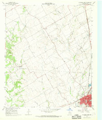
Editions of this 1966 Hillsboro West Map
2 editions found
Other maps of this area

1891 · Cleburne
USGS Topo · 1:125,000

1892 · Waco
USGS Topo · 1:125,000

1894 · Cleburne
USGS Topo · 1:125,000

1920 · Waco
USGS Topo · 1:125,000

1927 · Blum
USGS Topo · 1:62,500

1931 · Whitney
USGS Topo · 1:62,500

1954 · Dallas
USGS Topo · 1:250,000

1954 · Waco
USGS Topo · 1:250,000

1955 · Waco
USGS Topo · 1:250,000

1956 · Abbott
USGS Topo · 1:24,000