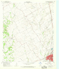
1966 Map of Hillsboro West
USGS Topo · Published 1968About this map
Hillsboro serves as the focal point of this mid-century Texas landscape, showing the dense street grid and civic center at a time when the Missouri Kansas Texas railroad remained a vital transit corridor. Beyond the county seat, the rural character of Hill County is defined by agricultural drainage systems including Aquilla Creek and Hackberry Creek. Small communities like Woodbury and Mayfield anchor the surrounding territory, connected by a network of roads and an extensive Old Railroad Grade that speaks to earlier patterns of transport.
Find a feature on this map
27 named features on this map. Tap any name to fly to it.
Don’t see what you’re looking for? This feature index may not catch every label — zoom into the map to look around manually.
Map Details
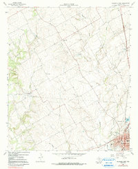
Editions of this 1966 Hillsboro West Map
2 editions found
Other maps of this area

1891 · Cleburne
USGS Topo · 1:125,000

1892 · Waco
USGS Topo · 1:125,000

1894 · Cleburne
USGS Topo · 1:125,000

1920 · Waco
USGS Topo · 1:125,000

1927 · Blum
USGS Topo · 1:62,500

1931 · Whitney
USGS Topo · 1:62,500

1954 · Dallas
USGS Topo · 1:250,000

1954 · Waco
USGS Topo · 1:250,000

1955 · Waco
USGS Topo · 1:250,000

1956 · Abbott
USGS Topo · 1:24,000