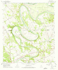
1961 Map of Nemo
USGS Topo · Published 1974About this map
The Brazos River carves a dramatic series of deep meanders across the Hood and Somervell County line, defining the geographic character of this North Texas region. These massive loops, including De Cordova Bend, Cox Bend, and Mitchell Bend, create isolated pockets of land that shaped early settlement patterns. Along these curves, local life was anchored by small rural centers such as Fort Spunky and Nemo, while the river itself supported recreation at Camp Arrowhead and Rainbow Camp.
Find a feature on this map
33 named features on this map. Tap any name to fly to it.
Don’t see what you’re looking for? This feature index may not catch every label — zoom into the map to look around manually.
Map Details
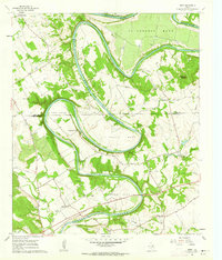
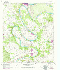
Editions of this 1961 Nemo Map
3 editions found
Other maps of this area

1889 · Granbury
USGS Topo · 1:125,000

1923 · Granbury 2-a
USGS Topo · 1:48,000

1923 · Granbury 1-b
USGS Topo · 1:48,000

1924 · Granbury 1-c
USGS Topo · 1:48,000

1924 · Granbury 4-a
USGS Topo · 1:48,000

1928 · Godley
USGS Topo · 1:62,500

1931 · Morgan
USGS Topo · 1:62,500

1931 · Tolar
USGS Topo · 1:62,500

1954 · Dallas
USGS Topo · 1:250,000

1958 · Dallas
USGS Topo · 1:250,000