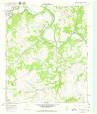
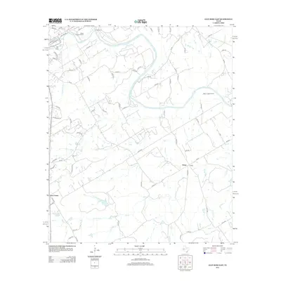
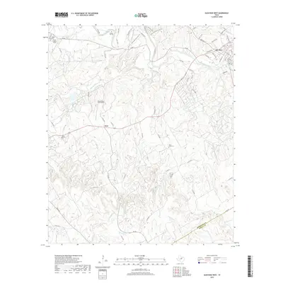
1966 Map of Glen Rose West
USGS Topo · Published 1987About this map
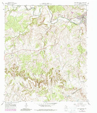
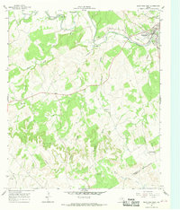
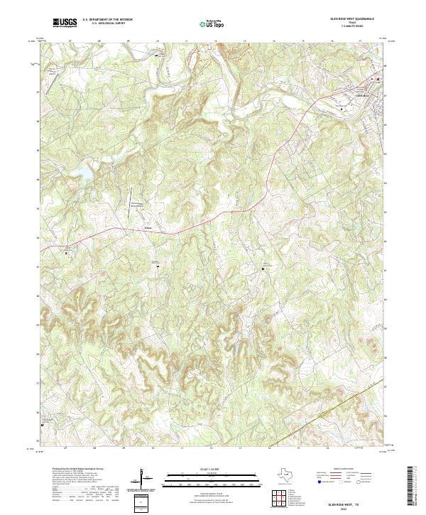
The Paluxy River winds through the northern landscape of this 1960s survey, anchoring the town of Glen Rose and its surrounding rural communities. The map captures a moment before significant late-century development, where the terrain is defined by its watercourses and small-scale industry. Numerous Gravel Pits are scattered near the riverbanks and along the White Bluff Creek drainage, reflecting the local resource extraction of the era. To the south, the Seven Knobs rise near the Somervell Co Bosque Co line, marking the transition into more broken country drained by South Fork Hill Creek. Genealogists will find particular value in the several family and community burial sites documented here, including Lanham Mill Cem, the Nancy Smith Cem, and Ward Branch Cem near the small settlement of Glass.
Find a feature on this map
23 named features on this map. Tap any name to fly to it.
Don’t see what you’re looking for? This feature index may not catch every label — zoom into the map to look around manually.
Map Details
Editions of this 1966 Glen Rose West Map
2 editions found
Historical Maps of Glen Rose Through Time
19 maps found
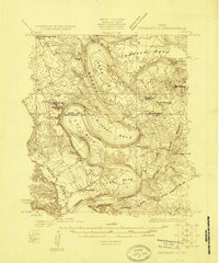
1924 Granbury 1-c
Somervell County, TX
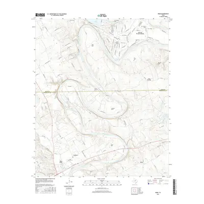
1961 Nemo
Somervell County, TX
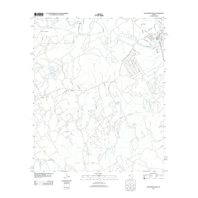
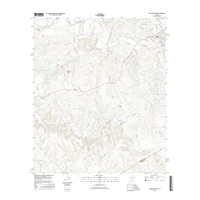
1966 Glen Rose West
Somervell County, TX
1967 Glen Rose East
Somervell County, TX
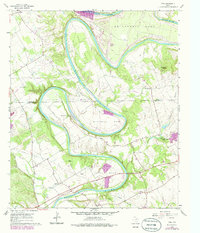
2010 Glen Rose East
Somervell County, TX
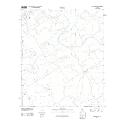
2010 Glen Rose West
Somervell County, TX
2010 Nemo
Somervell County, TX
2012 Glen Rose East
Somervell County, TX
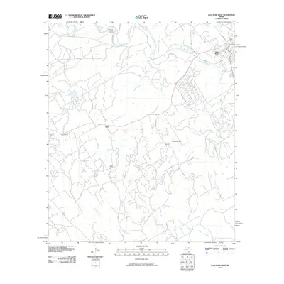
2012 Glen Rose West
Somervell County, TX
2013 Nemo
Somervell County, TX
2016 Glen Rose East
Somervell County, TX
2016 Glen Rose West
Somervell County, TX
2016 Nemo
Somervell County, TX
2019 Glen Rose East
Somervell County, TX
2019 Glen Rose West
Somervell County, TX

2019 Nemo
Somervell County, TX
2022 Glen Rose West
Somervell County, TX
2023 Glen Rose East
Somervell County, TX
2023 Nemo
Somervell County, TX