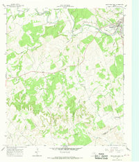
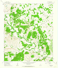
1966 Map of Glen Rose West
USGS Topo · Published 1968About this map
Glen Rose serves as the primary hub of this landscape, situated at the confluence of the Paluxy River and its several tributaries. The 1960s terrain is marked by a complex network of creeks such as White Bluff Creek, Bowden Creek, and Barker Branch, illustrating the rural drainage patterns of Somervell and Bosque counties. This survey is particularly useful for genealogical research, documenting numerous family and community sites like Lanham Mill Cem, Nancy Smith Cem, and Ward Branch Cem.
Find a feature on this map
28 named features on this map. Tap any name to fly to it.
Don’t see what you’re looking for? This feature index may not catch every label — zoom into the map to look around manually.
Map Details
Editions of this 1966 Glen Rose West Map
2 editions found
Other maps of this area

1889 · Granbury
USGS Topo · 1:125,000

1924 · Granbury 1-c
USGS Topo · 1:48,000

1928 · Godley
USGS Topo · 1:62,500

1931 · Morgan
USGS Topo · 1:62,500

1931 · Tolar
USGS Topo · 1:62,500

1954 · Dallas
USGS Topo · 1:250,000

1958 · Dallas
USGS Topo · 1:250,000
1961 · Hill City
USGS Topo · 1:24,000
1961 · Nemo
USGS Topo · 1:24,000
1961 · Paluxy
USGS Topo · 1:24,000