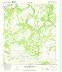
1967 Map of Glen Rose East
USGS Topo · Published 1979About this map
The Brazos River carves a sweeping path through the heart of the Somervell and Bosque county borderlands, defining the landscape of this 1967 survey. The settlement of Glen Rose sits at the confluence of the Brazos and the Paluxy River, serving as a focal point for local development alongside Glen Lake Camp. Away from the riverbanks, the terrain rises toward the Seven Knobs in the southwest, while small rural landmarks like White Ch and the community of Eulogy anchor the surrounding countryside. This map records a rural Texas landscape during a period of transition, where established river-valley agriculture and small-town life met emerging infrastructure, evidenced by the Pipeline crossing the northern hills and the network of gravel pits supporting local industry. The intricate drainage patterns of Squaw Cr and Hill Creek illustrate the complex watershed that has long shaped the region's ranching and settlement history.
Find a feature on this map
25 named features on this map. Tap any name to fly to it.
Don’t see what you’re looking for? This feature index may not catch every label — zoom into the map to look around manually.
Map Details
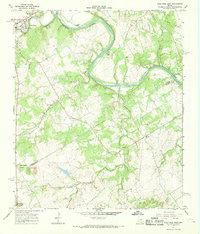
Editions of this 1967 Glen Rose East Map
2 editions found
Other maps of this area

1889 · Granbury
USGS Topo · 1:125,000

1924 · Granbury 1-c
USGS Topo · 1:48,000

1924 · Granbury 4-a
USGS Topo · 1:48,000

1928 · Godley
USGS Topo · 1:62,500

1931 · Morgan
USGS Topo · 1:62,500

1931 · Tolar
USGS Topo · 1:62,500

1954 · Dallas
USGS Topo · 1:250,000

1958 · Dallas
USGS Topo · 1:250,000
1961 · Hill City
USGS Topo · 1:24,000
1961 · Nemo
USGS Topo · 1:24,000