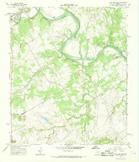
1967 Map of Glen Rose East
USGS Topo · Published 1968About this map
The Brazos River carves a dramatic oxbow through this central Texas landscape, creating a distinct topographical divide between Glen Rose and the surrounding rangelands. Near the confluence of the Paluxy River, the town shows its mid-century footprint with a High Sch and Sewage Disposal Ponds situated along the riverbanks. The local economy and recreation of the late 1960s are evident in the cluster of riverside retreats like Glen Lake Camp and Camp Tres Rios.
Find a feature on this map
31 named features on this map. Tap any name to fly to it.
Don’t see what you’re looking for? This feature index may not catch every label — zoom into the map to look around manually.
Map Details
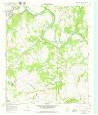
Editions of this 1967 Glen Rose East Map
2 editions found
Other maps of this area

1889 · Granbury
USGS Topo · 1:125,000

1924 · Granbury 1-c
USGS Topo · 1:48,000

1924 · Granbury 4-a
USGS Topo · 1:48,000

1928 · Godley
USGS Topo · 1:62,500

1931 · Morgan
USGS Topo · 1:62,500

1931 · Tolar
USGS Topo · 1:62,500

1954 · Dallas
USGS Topo · 1:250,000

1958 · Dallas
USGS Topo · 1:250,000
1961 · Hill City
USGS Topo · 1:24,000
1961 · Nemo
USGS Topo · 1:24,000