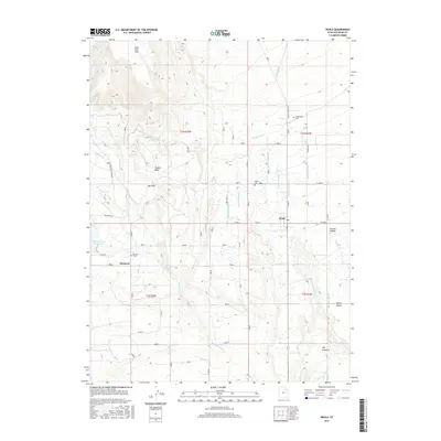
2017 Map of Neola
USGS Topo · Published 2017About this map
Agricultural life in Duchesne County revolves around an intricate network of irrigation systems, most notably the Uintah Canal and its numerous branches like Lateral Number 1 and Lateral Number 4. The settlement of Neola serves as a central hub, while smaller communities and family landmarks, such as Monarch and the Greenhalgh Cem, are scattered across a landscape defined by high plateaus and deep draws. The terrain transitions from the high John Starr Flat in the north down toward Nephi Bench and The Crescent in the south.
Find a feature on this map
35 named features on this map. Tap any name to fly to it.
Don’t see what you’re looking for? This feature index may not catch every label — zoom into the map to look around manually.
Map Details
Editions of this 2017 Neola Map
This is the sole edition of this map. No revisions or reprints were ever made.
Other maps of this area

1885 · Ashley
USGS Topo · 1:250,000

1885 · Uinta
USGS Topo · 1:250,000

1905 · Gilbert Peak
USGS Topo · 1:125,000

1906 · Gilbert Peak
USGS Topo · 1:125,000

1906 · Marsh Peak
USGS Topo · 1:125,000

1908 · Marsh Peak
USGS Topo · 1:125,000

1917 · Vernal
USGS Topo · 1:125,000

1939 · Duchesne
USGS Topo · 1:125,000

1954 · Salt Lake City
USGS Topo · 1:250,000

1954 · Vernal
USGS Topo · 1:250,000