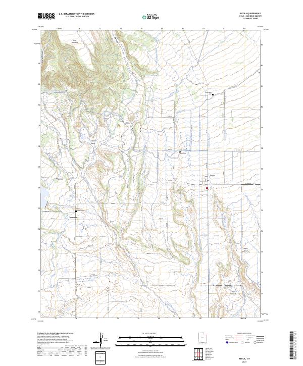
2023 Map of Neola
USGS Topo · Published 2023About this map
The small settlement of Neola serves as the focal point of this agricultural landscape in Duchesne County, where an intricate network of irrigation systems defines the geography. Reaching across the high desert terrain, features like the Yellowstone Feeder Canal, Uintah Canal, and Cedarview Canal represent the essential water management infrastructure that has sustained local ranching and farming. These canals, alongside numerous numbered laterals like Lateral Number 1 and Lateral Number 5, dominate the grid-like pattern of the region.
Find a feature on this map
29 named features on this map. Tap any name to fly to it.
Don’t see what you’re looking for? This feature index may not catch every label — zoom into the map to look around manually.
Map Details
Editions of this 2023 Neola Map
This is the sole edition of this map. No revisions or reprints were ever made.
Other maps of this area

1885 · Ashley
USGS Topo · 1:250,000

1885 · Uinta
USGS Topo · 1:250,000

1905 · Gilbert Peak
USGS Topo · 1:125,000

1906 · Gilbert Peak
USGS Topo · 1:125,000

1906 · Marsh Peak
USGS Topo · 1:125,000

1908 · Marsh Peak
USGS Topo · 1:125,000

1917 · Vernal
USGS Topo · 1:125,000

1939 · Duchesne
USGS Topo · 1:125,000

1954 · Salt Lake City
USGS Topo · 1:250,000

1954 · Vernal
USGS Topo · 1:250,000