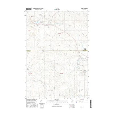
2016 Map of Neopit
USGS Topo · Published 2016About this map
The West Branch Wolf River and its numerous tributaries dominate this northern Wisconsin landscape, where the waters of the Neopit Mill Pond sit at the heart of the Neopit settlement. This area is characterized by a dense network of Bureau of Indian Affairs routes, such as Bia Rte 118 and Bia Rte 161, which connect smaller communities like Zoar and Middle Village. The map reveals the intricate water system of the region, featuring Rainbow Falls and Peavey Falls downstream from the main settlement. Moving south across the Menominee and Shawano County line, the terrain transitions toward the community of Morgan. Researchers will find local landmarks including Saint Anthonys Cem and Red Springs Cem, alongside numerous named lakes such as Mission Lake and Beaulieu Lake, reflecting the diverse hydrography and dispersed settlement patterns of the early 21st century.
Find a feature on this map
72 named features on this map. Tap any name to fly to it.
Don’t see what you’re looking for? This feature index may not catch every label — zoom into the map to look around manually.
Map Details
Editions of this 2016 Neopit Map
This is the sole edition of this map. No revisions or reprints were ever made.
Other maps of this area

1952 · White Lake
USGS Topo · 1:48,000

1952 · Langlade
USGS Topo · 1:48,000

1954 · Gresham
USGS Topo · 1:48,000

1954 · Shawano
USGS Topo · 1:48,000

1954 · Iron Mountain
USGS Topo · 1:250,000

1955 · Green Bay
USGS Topo · 1:250,000

1959 · Iron Mountain
USGS Topo · 1:250,000

1964 · Shawano
USGS Topo · 1:62,500

1964 · Gresham
USGS Topo · 1:62,500
1973 · Perote Lake
USGS Topo · 1:24,000