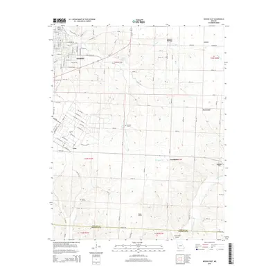
2015 Map of Neosho East
USGS Topo · Published 2015About this map
Neosho expands into the limestone hills of southwest Missouri in this modern survey, which records a landscape defined by its abundant karst topography and rural settlements. Significant water sources like Big Spring, Hearrell Spring, and McMahan Spring are scattered across the terrain, indicating the historical importance of freshwater access for early homesteads and the development of communities like Monark Springs. The map documents the educational and spiritual anchors of the area, including the campus of Crowder Coll and the long-established Elm Spring Cemetery.
Find a feature on this map
106 named features on this map. Tap any name to fly to it.
Don’t see what you’re looking for? This feature index may not catch every label — zoom into the map to look around manually.
Map Details
Editions of this 2015 Neosho East Map
This is the sole edition of this map. No revisions or reprints were ever made.
Other maps of this area

1916 · Neosho
USGS Topo · 1:62,500

1940 · Noel
USGS Topo · 1:62,500

1941 · Rocky Comfort
USGS Topo · 1:62,500

1943 · Ritchey
USGS Topo · 1:62,500

1943 · Noel
USGS Topo · 1:62,500

1943 · Rocky Comfort
USGS Topo · 1:62,500

1954 · Tulsa
USGS Topo · 1:250,000

1958 · Tulsa
USGS Topo · 1:250,000

1963 · Tulsa
USGS Topo · 1:250,000
1972 · Granby
USGS Topo · 1:24,000