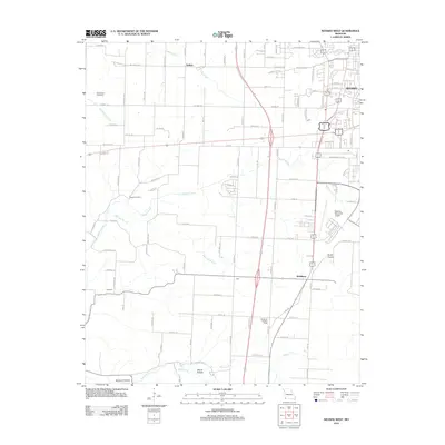
2012 Map of Neosho West
USGS Topo · Published 2012About this map
Neosho's western edge and the surrounding Newton County countryside are documented here just after the turn of the millennium. The landscape is a transition between the developing outskirts of the city and the established rural holdings near McElhany and Belfast. The map reveals a dense network of family-named roads like Hereford Rd, Goldfinch Rd, and Heron Dr, which crisscross the drainage basins of Buffalo Creek and Harrison Branch.
Find a feature on this map
86 named features on this map. Tap any name to fly to it.
Don’t see what you’re looking for? This feature index may not catch every label — zoom into the map to look around manually.
Map Details
Editions of this 2012 Neosho West Map
This is the sole edition of this map. No revisions or reprints were ever made.
Other maps of this area

1907 · Wyandotte
USGS Topo · 1:125,000

1909 · Wyandotte
USGS Topo · 1:125,000

1916 · Neosho
USGS Topo · 1:62,500

1940 · Noel
USGS Topo · 1:62,500

1943 · Noel
USGS Topo · 1:62,500

1949 · Seneca
USGS Topo · 1:24,000

1949 · Racine
USGS Topo · 1:24,000

1950 · Seneca
USGS Topo · 1:24,000

1950 · Racine
USGS Topo · 1:24,000

1954 · Tulsa
USGS Topo · 1:250,000