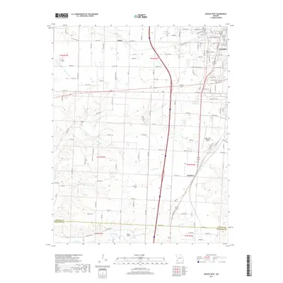
2017 Map of Neosho West
USGS Topo · Published 2017About this map
The western portions of Neosho and the surrounding Newton County countryside are captured here in this modern 2017 survey. The landscape is characterized by its drainage network, featuring Sugar Fork in the south and the winding paths of Buffalo Cr and Harrison Br. These watercourses carve through the terrain, notably at Slover Hollow near the southern border with McDonald County.
Find a feature on this map
118 named features on this map. Tap any name to fly to it.
Don’t see what you’re looking for? This feature index may not catch every label — zoom into the map to look around manually.
Map Details
Editions of this 2017 Neosho West Map
This is the sole edition of this map. No revisions or reprints were ever made.
Other maps of this area

1907 · Wyandotte
USGS Topo · 1:125,000

1909 · Wyandotte
USGS Topo · 1:125,000

1916 · Neosho
USGS Topo · 1:62,500

1940 · Noel
USGS Topo · 1:62,500

1943 · Noel
USGS Topo · 1:62,500

1949 · Seneca
USGS Topo · 1:24,000

1949 · Racine
USGS Topo · 1:24,000

1950 · Seneca
USGS Topo · 1:24,000

1950 · Racine
USGS Topo · 1:24,000

1954 · Tulsa
USGS Topo · 1:250,000