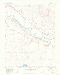
1960 Map of Nepesta
USGS Topo · Published 1970About this map
The Arkansas River valley serves as a bustling corridor of irrigation and rail infrastructure in this 1960 field-checked survey of Pueblo County. The small settlement of Nepesta is positioned near the junction of major transit lines, including the Atchison Topeka and Santa Fe and the Missouri Pacific railroads. The landscape is defined by an intricate network of water management, with the Colorado Canal, Rocky Ford Highline Canal, and Oxford Farmers High Line Canal diverted from the river to support local agriculture. South of the main river valley, the terrain transitions into the more arid draws of Thompson Arroyo and the area surrounding Dotson Reservoir. Notable local landmarks like the Rodeo Ground and various Gravel Pits reflect the mid-century communal and industrial activities along this vital waterway.
Find a feature on this map
19 named features on this map. Tap any name to fly to it.
Don’t see what you’re looking for? This feature index may not catch every label — zoom into the map to look around manually.
Map Details
Editions of this 1960 Nepesta Map
4 editions found
Other maps of this area

1891 · Nepesta
USGS Topo · 1:125,000

1893 · Nepesta
USGS Topo · 1:125,000

1904 · Nepesta
USGS Topo · 1:125,000

1954 · Pueblo
USGS Topo · 1:250,000

1957 · Pueblo
USGS Topo · 1:250,000

1958 · Pueblo
USGS Topo · 1:250,000
1958 · Hardesty Reservoir
USGS Topo · 1:24,000
1959 · Flying A Ranch
USGS Topo · 1:24,000
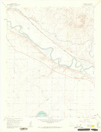
1960 · Nepesta
USGS Topo · 1:24,000
1960 · Fowler
USGS Topo · 1:24,000