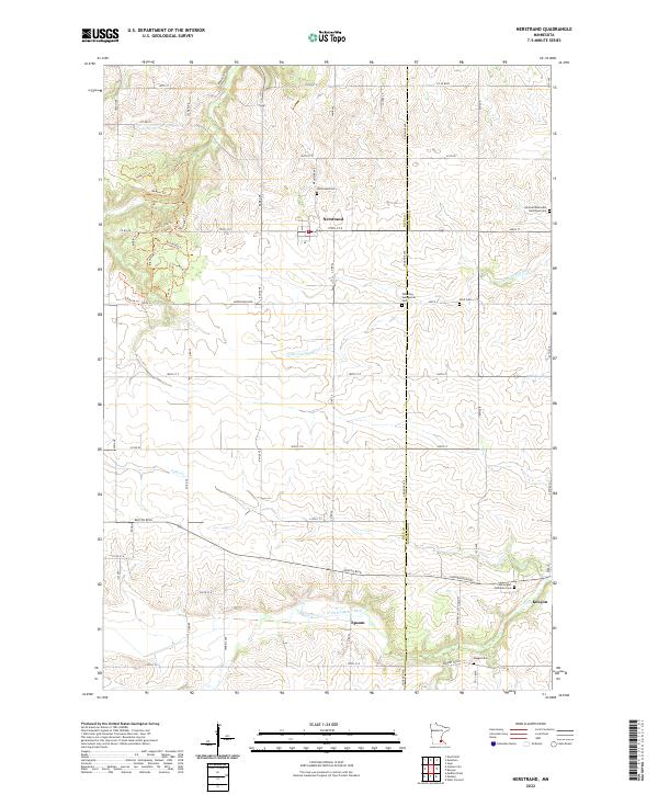
2022 Map of Nerstrand
USGS Topo · Published 2022About this map
Nerstrand sits at the heart of this agricultural landscape in southeastern Minnesota, where the drainage of the Little Cannon River and Falls Cr carves through the undulating prairie. The map documents a deeply rooted rural community, evidenced by a dense network of country cemeteries and the small crossroads settlement at Epsom. The eastern edge of the survey transitions into Goodhue Co and reaches the outskirts of Kenyon, following the course of the N Fork Zumbro River. This area is characterized by its organized grid of farm-to-market roads, such as Co Rd 88 and Co 49 Blvd, alongside a unique cluster of woodland trails including Big Woods Trl and Basswood Trl, which suggest a pockets of preserved timber amidst the vast cultivated fields of Rice and Goodhue counties.
Find a feature on this map
75 named features on this map. Tap any name to fly to it.
Don’t see what you’re looking for? This feature index may not catch every label — zoom into the map to look around manually.
Map Details
Editions of this 2022 Nerstrand Map
This is the sole edition of this map. No revisions or reprints were ever made.
Other maps of this area

1953 · Saint Paul
USGS Topo · 1:250,000

1959 · Saint Paul
USGS Topo · 1:250,000

1960 · Northfield
USGS Topo · 1:24,000

1960 · Cannon City
USGS Topo · 1:24,000

1960 · Dennison
USGS Topo · 1:24,000

1960 · Nerstrand
USGS Topo · 1:24,000

1962 · Medford East
USGS Topo · 1:24,000

1962 · Moland
USGS Topo · 1:24,000

1965 · West Concord
USGS Topo · 1:24,000

1968 · Kenyon
USGS Topo · 1:24,000