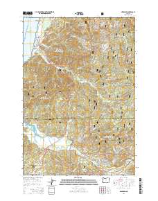
2014 Map of Neskowin
USGS Topo · Published 2014About this map
The coastal communities of Neskowin and Lincoln City anchor this 2014 survey of the central Oregon coast, where the mountains of the Siuslaw National Forest meet the Pacific. The landscape is defined by the significant headlands of Cascade Head and the landmark Proposal Rock-Neskowin Beach, while the Salmon River carves a broad valley toward the sea. Further inland, the settlements of Otis and Rose Lodge line the Salmon River Hwy, marking the transition from the shore to the timbered interior. The map captures the complex drainage systems of the Coast Range, including Slab Creek and Neskowin Cr, which are bordered by steep terrain like Neskowin Ridge. This edition preserves the modern road network, including the Oregon Coast Hwy and various forest roads such as Squaw Creek Rd, reflecting the area's ongoing balance between recreation, forestry, and shoreline preservation.
Find a feature on this map
82 named features on this map. Tap any name to fly to it.
Don’t see what you’re looking for? This feature index may not catch every label — zoom into the map to look around manually.
Map Details
Editions of this 2014 Neskowin Map
This is the sole edition of this map. No revisions or reprints were ever made.
Other maps of this area

1941 · Nestucca Bay
USGS Topo · 1:62,500

1941 · Cape Foulweather
USGS Topo · 1:62,500

1942 · Euchre Mtn
USGS Topo · 1:62,500

1942 · Nestucca Bay
USGS Topo · 1:62,500

1943 · Euchre Mtn
USGS Topo · 1:62,500

1944 · Cape Foulweather
USGS Topo · 1:62,500

1948 · Vancouver
USGS Topo · 1:250,000

1950 · Vancouver
USGS Topo · 1:250,000

1950 · Vancouver
USGS Topo · 1:250,000

1953 · Salem
USGS Topo · 1:250,000