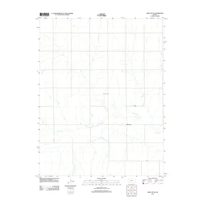
2012 Map of Ness City SE
USGS Topo · Published 2012About this map
The Pawnee River meanders across this rural section of Ness County, defining the local topography and providing a natural focal point for the settlement at Riverside. This high-plains landscape in western Kansas is characterized by its agricultural and industrial utility, most notably shown through the presence of the Riverside Oil Field. Local history and genealogy interest centers on the Riverside Cem, which sits near the riverbanks north of the main settlement. The map illustrates a sparse network of section-line roads typical of the region, where the economy is tied to both the land's surface and the resources beneath it. This 2012 survey provides a clear view of the area's modern footprint, from the quiet banks of the Pawnee to the active extraction sites that mark the northern plains.
Find a feature on this map
4 named features on this map. Tap any name to fly to it.
Don’t see what you’re looking for? This feature index may not catch every label — zoom into the map to look around manually.
Map Details
Editions of this 2012 Ness City SE Map
This is the sole edition of this map. No revisions or reprints were ever made.
Other maps of this area

1892 · Ness
USGS Topo · 1:125,000

1894 · Ness
USGS Topo · 1:125,000

1955 · Great Bend
USGS Topo · 1:250,000

1957 · Great Bend
USGS Topo · 1:250,000

1958 · Great Bend
USGS Topo · 1:250,000

1966 · Ness City
USGS Topo · 1:24,000

1966 · Ness City NE
USGS Topo · 1:24,000
1966 · Bazine
USGS Topo · 1:24,000

1970 · Hanston NW
USGS Topo · 1:24,000

1970 · Jetmore NE
USGS Topo · 1:24,000