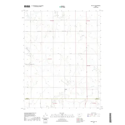
2018 Map of Ness City SW
USGS Topo · Published 2018About this map
Harold sits in the southern portion of this Kansas landscape, a local point of reference in an area defined by the drainage basins of two significant waterways. The Pawnee River flows across the lower sections of the sheet, while the northern edge is touched by the S Fork Walnut Cr. Between these river systems, the terrain is marked by distinctive topographic features such as Guzzlers Gulch and the South Fork Guzzlers Gulch, illustrating the complex erosion patterns of the High Plains.
Find a feature on this map
35 named features on this map. Tap any name to fly to it.
Don’t see what you’re looking for? This feature index may not catch every label — zoom into the map to look around manually.
Map Details
Editions of this 2018 Ness City SW Map
This is the sole edition of this map. No revisions or reprints were ever made.
Other maps of this area

1892 · Ness
USGS Topo · 1:125,000

1894 · Ness
USGS Topo · 1:125,000

1955 · Great Bend
USGS Topo · 1:250,000

1955 · Scott City
USGS Topo · 1:250,000

1957 · Great Bend
USGS Topo · 1:250,000

1958 · Great Bend
USGS Topo · 1:250,000

1958 · Scott City
USGS Topo · 1:250,000

1966 · Ness City
USGS Topo · 1:24,000

1966 · Ness City NE
USGS Topo · 1:24,000

1966 · Laird
USGS Topo · 1:24,000